Fort Duquesne Bridge, Pittsburgh
Map

Gallery

Facts and practical information
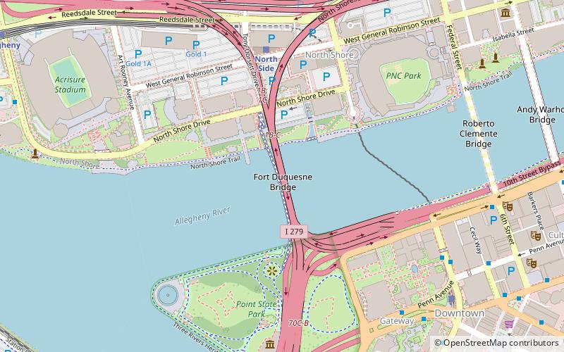
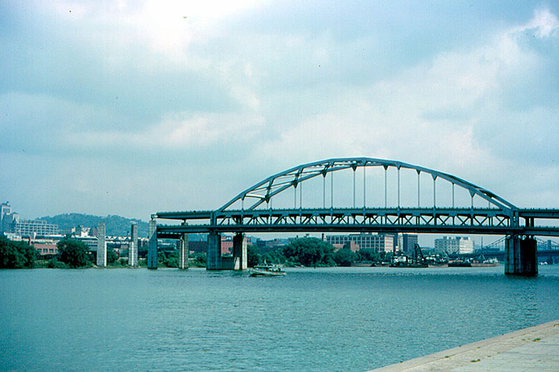
The Fort Duquesne Bridge is a steel bowstring arch bridge that spans the Allegheny River in Pittsburgh, Pennsylvania, United States. It was colloquially referred to as "The Bridge to Nowhere". ()
Opened: 17 October 1969 (56 years ago)Coordinates: 40°26'41"N, 80°0'33"W
Day trips
Fort Duquesne Bridge – popular in the area (distance from the attraction)
Nearby attractions include: Heinz Field, PNC Park, Fort Pitt Museum, Benedum Center.
Frequently Asked Questions (FAQ)
Which popular attractions are close to Fort Duquesne Bridge?
Nearby attractions include Roberto Clemente Memorial Park, Pittsburgh (3 min walk), North Shore Riverfront Park, Pittsburgh (4 min walk), North Shore Connector tunnel, Pittsburgh (5 min walk), Stage AE, Pittsburgh (5 min walk).
How to get to Fort Duquesne Bridge by public transport?
The nearest stations to Fort Duquesne Bridge:
Light rail
Bus
Train
Light rail
- North Side • Lines: Blue, Red, Silver (6 min walk)
- Allegheny • Lines: Blue, Red, Silver (13 min walk)
Bus
- Liberty Ave at Wyndham Grand • Lines: Metro Commuter, P10 (8 min walk)
- Liberty Ave at Stanwix St • Lines: P10 (9 min walk)
Train
- Pittsburgh Union Station (24 min walk)


