George V. Voinovich Bridges, Cleveland
Map
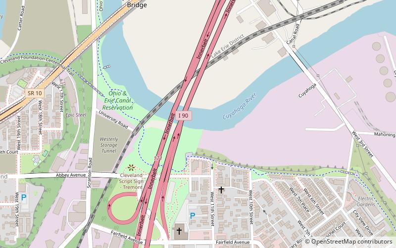
Map

Facts and practical information
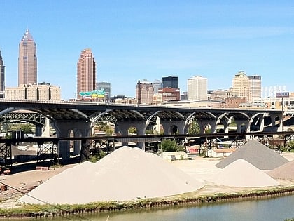
The George V. Voinovich Bridges are two bridges in Cleveland, Ohio, U.S. that carry Interstate 90 over the Cuyahoga River. They are named for George Voinovich, former mayor of Cleveland, Governor of Ohio, and United States Senator. ()
Length: 4347 ftHeight: 136 ftCoordinates: 41°29'10"N, 81°41'24"W
Address
TremontCleveland
ContactAdd
Social media
Add
Day trips
George V. Voinovich Bridges – popular in the area (distance from the attraction)
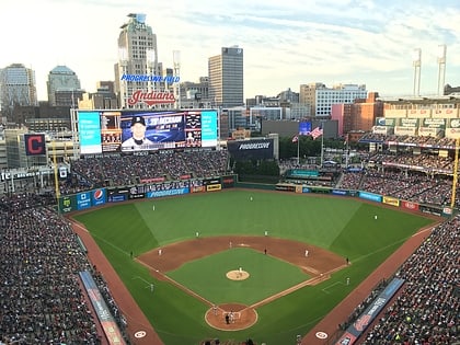
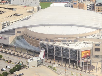
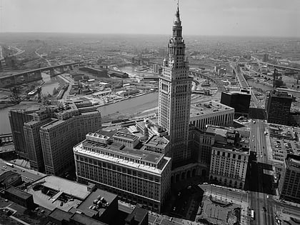
Nearby attractions include: Progressive Field, Cleveland Arcade, Quicken Loans Arena, West Side Market.
Frequently Asked Questions (FAQ)
Which popular attractions are close to George V. Voinovich Bridges?
Nearby attractions include Hope Memorial Bridge, Cleveland (9 min walk), Ukrainian Museum-Archives, Cleveland (11 min walk), The Flats, Cleveland (14 min walk), Time Warner Cable Amphitheater, Cleveland (14 min walk).
How to get to George V. Voinovich Bridges by public transport?
The nearest stations to George V. Voinovich Bridges:
Metro
Light rail
Bus
Metro
- West 25th–Ohio City • Lines: Red (15 min walk)
- Tower City • Lines: Red (22 min walk)
Light rail
- Tower City • Lines: 67Ax, 67AX Blue, Blue, Green (21 min walk)
- Settlers Landing • Lines: 67Ax, 67AX Blue, Blue, Green (23 min walk)
Bus
- 79 A/B 51A/B/C 22 26 (24 min walk)
- East 6th Street (25 min walk)
