St. Patrick's Catholic Church, San Francisco
Map
Map

Facts and practical information
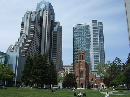
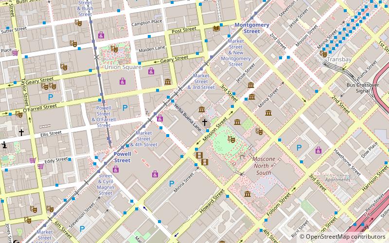
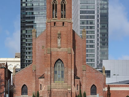
St. Patrick's Catholic Church is a Roman Catholic church in San Francisco, California, founded in 1851. It is located at 756 Mission Street, between 3rd and 4th streets, across the street from Yerba Buena Gardens in the heart of the South of Market district. ()
Coordinates: 37°47'8"N, 122°24'14"W
Address
756 Mission StSoutheast San Francisco (South Beach)San Francisco 94103-3113
Contact
+1 415-421-3730
Social media
Add
Day trips
St. Patrick's Catholic Church – popular in the area (distance from the attraction)
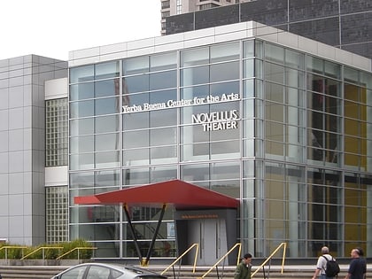
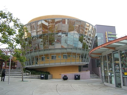
Nearby attractions include: San Francisco Museum of Modern Art, Westfield San Francisco Centre, Metreon, Yerba Buena Center for the Arts.
Frequently Asked Questions (FAQ)
Which popular attractions are close to St. Patrick's Catholic Church?
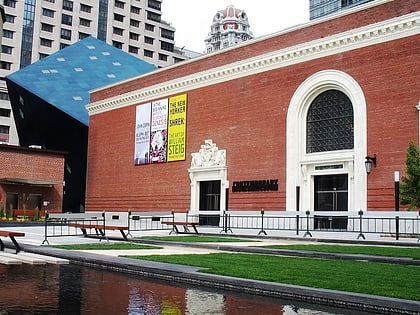
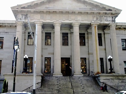
Nearby attractions include Contemporary Jewish Museum, San Francisco (1 min walk), Four Seasons Private Residences at 706 Mission Street, San Francisco (2 min walk), Humboldt Bank Building, San Francisco (2 min walk), Yerba Buena Center for the Arts, San Francisco (3 min walk).
How to get to St. Patrick's Catholic Church by public transport?
The nearest stations to St. Patrick's Catholic Church:
Bus
Trolleybus
Tram
Metro
Light rail
Train
Ferry
Bus
- Mission Street & 4th Street • Lines: 101, 101X, 14R, 292, 30, 397, 398, 70 (2 min walk)
- 22 4th Street • Lines: East, West (2 min walk)
Trolleybus
- Mission Street & 4th Street • Lines: 14 (2 min walk)
- 4th Street & Market Street • Lines: 30, 45 (3 min walk)
Tram
- Market Street & Stockton Street • Lines: F (3 min walk)
Metro
- Powell Street • Lines: Blue, Green, Red, Yellow (5 min walk)
- Montgomery Street • Lines: Blue, Green, Red, Yellow (8 min walk)
Light rail
- Powell Street • Lines: K, N, S, T (6 min walk)
- Montgomery Street • Lines: K, N, S, T (7 min walk)
Train
- San Francisco 4th & King Street (21 min walk)
Ferry
- Ferry Building Gate G • Lines: San Francisco Bay Ferry (25 min walk)
 Muni Metro
