Wolverine Canyon, Grand Staircase–Escalante National Monument

Gallery (1)
Map
Map
Facts and practical information
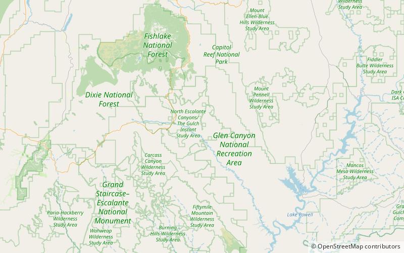
Wolverine Canyon, UT is a canyon near the town of Boulder, Utah. It is small, only 3 miles in length until it meets with Horse Canyon and Little Death Hollow, and then leads down to the Escalante River. ()
Coordinates: 37°45'30"N, 111°15'36"W
Address
Grand Staircase–Escalante National Monument
ContactAdd
Social media
Add
Day trips

