Omaha City Hall, Omaha
Map
Facts and practical information
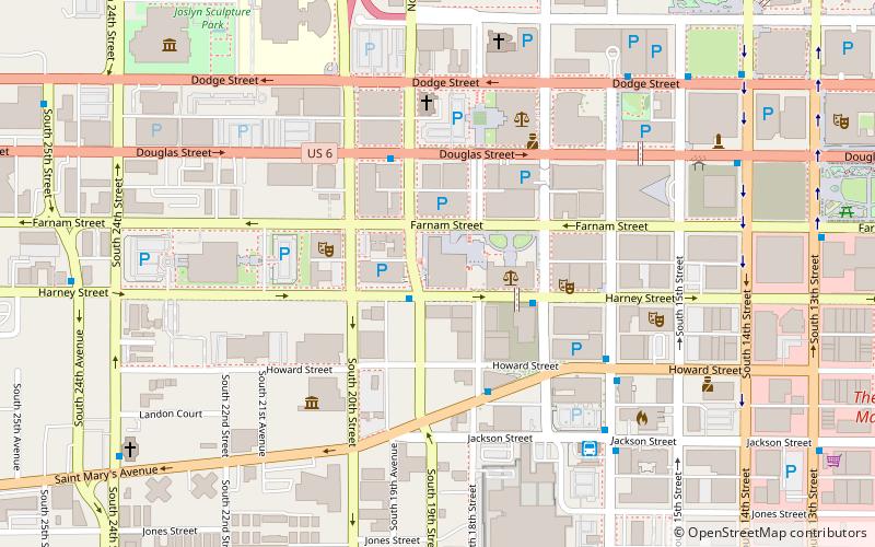
Omaha City Hall is located at 1819 Farnam Street in downtown Omaha, Nebraska. It is the seat of government for the City of Omaha. ()
Coordinates: 41°15'25"N, 95°56'26"W
Address
Downtown OmahaOmaha
ContactAdd
Social media
Add
Getting there by public transportation
Public transportation stops near this location
- Bus
- Train
 Bus
Bus
- Calculate routeOmaha Bus Station 7 min walk
- Calculate route14th & Douglas 9 min walk
- Calculate route16th and Davenport 10 min walk
- Calculate route30th & Harrison 12 min walk
- Calculate routeOmaha 22 min walk
Day trips
Omaha City Hall – popular in the area (distance from the attraction)
Nearby attractions include: J. L. Brandeis and Sons Store Building, TD Ameritrade Park Omaha, Omaha Children's Museum, CenturyLink Center Omaha.


Frequently Asked Questions (FAQ)
Which popular attractions are close to Omaha City Hall?
Nearby attractions include Omaha Public Library Building, Omaha (2 min walk), Douglas County Courthouse, Omaha (2 min walk), Rose Blumkin Performing Arts Center, Omaha (3 min walk), Rose Theater Guild, Omaha (3 min walk).
How to get to Omaha City Hall by public transport?
The nearest stations to Omaha City Hall:
Bus
Train
Bus
- Omaha Bus Station (7 min walk)
- 14th & Douglas • Lines: 95 (9 min walk)
Train
- Omaha (22 min walk)