Hoye-Crest, Monongahela National Forest

Gallery (2)
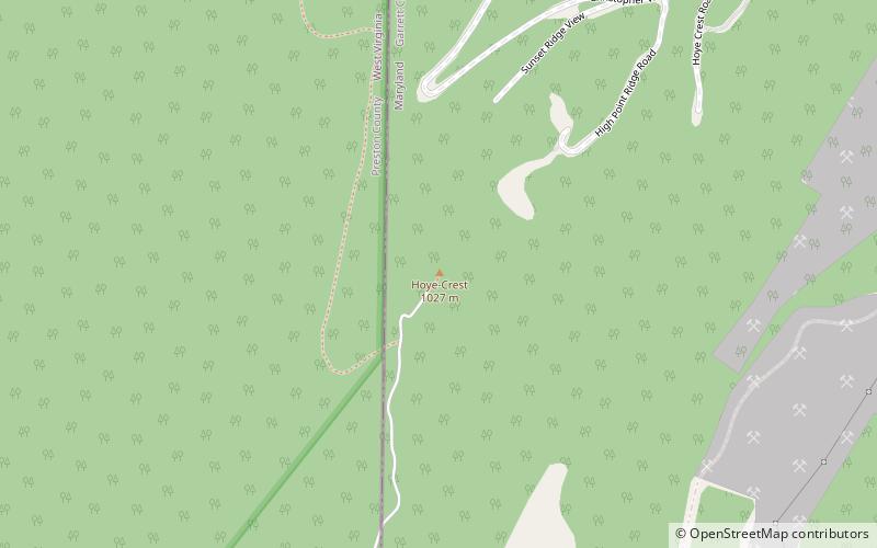
Map
Map
Gallery
Facts and practical information
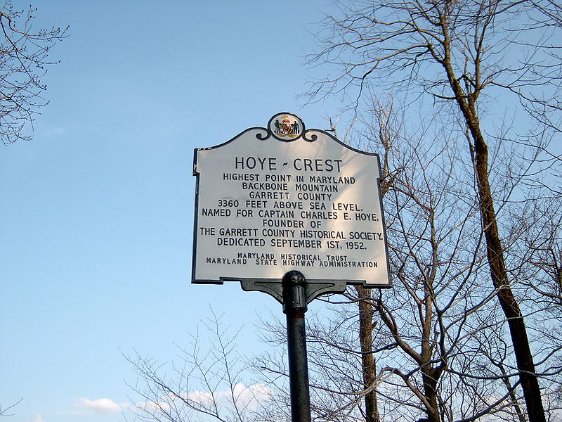
Hoye-Crest is a summit along Backbone Mountain just inside of Garrett County, Maryland. It is the highest natural point in Maryland at an elevation of 3,360 feet. ()
Day trips
Hoye-Crest – popular in the area (distance from the attraction)
Nearby attractions include: Fairfax Stone Historical Monument State Park.
