Bitter Lake, Seattle
Map
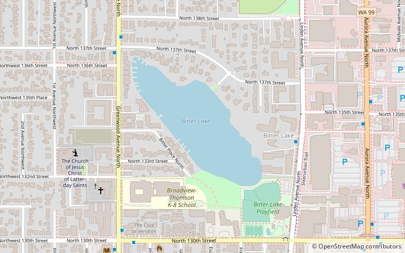
Map

Facts and practical information
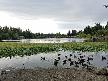
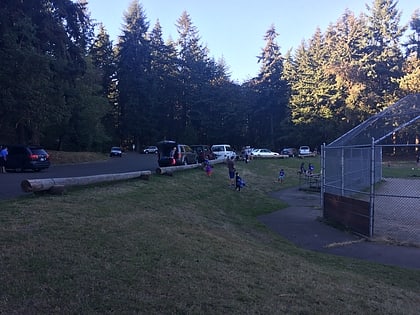
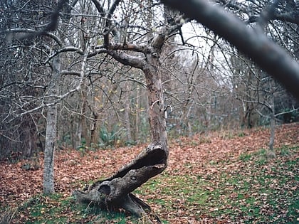
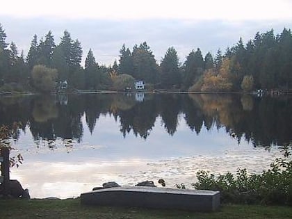
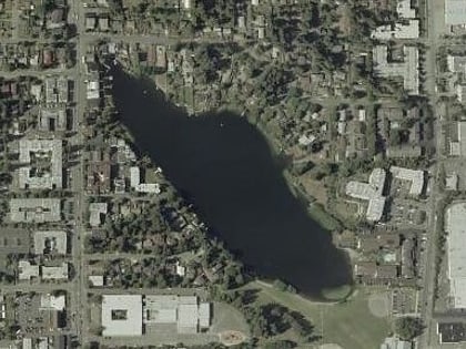
Bitter Lake is a neighborhood in Seattle, Washington, United States, named after its most notable feature, Bitter Lake. It was a mostly natural forest of Douglas-fir and Western Redcedar, inhabited by Native Americans, until the late 19th century. Development especially picked up when the Seattle-to-Everett Interurban streetcar reached the lake in 1906. A sawmill operated in the area until 1913, when most of the trees had been cut down. ()
Elevation: 440 ft a.s.l.Coordinates: 47°43'35"N, 122°21'7"W
Address
Northwest Seattle (Bitter Lake)Seattle
ContactAdd
Social media
Add
Day trips
Bitter Lake – popular in the area (distance from the attraction)
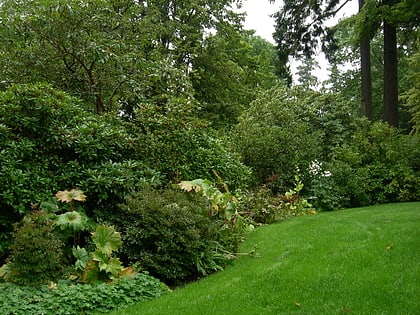
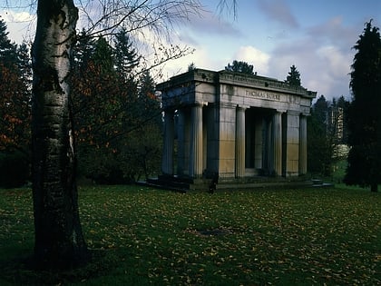
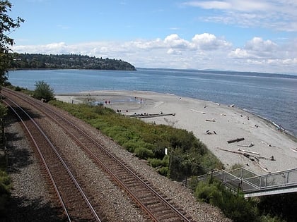
Nearby attractions include: Dunn Gardens, Evergreen Washelli Memorial Park, Carkeek Park, Northacres Park.
Frequently Asked Questions (FAQ)
Which popular attractions are close to Bitter Lake?
Nearby attractions include Bitter Lake, Seattle (1 min walk), Dunn Gardens, Seattle (16 min walk), Goldie's Casino Shoreline, Shoreline (23 min walk).
How to get to Bitter Lake by public transport?
The nearest stations to Bitter Lake:
Bus
Bus
- Four Freedoms Home & Linden Ave N • Lines: 345 (5 min walk)
- Greenwood Ave N & N 137th St • Lines: 345, 5 (6 min walk)
