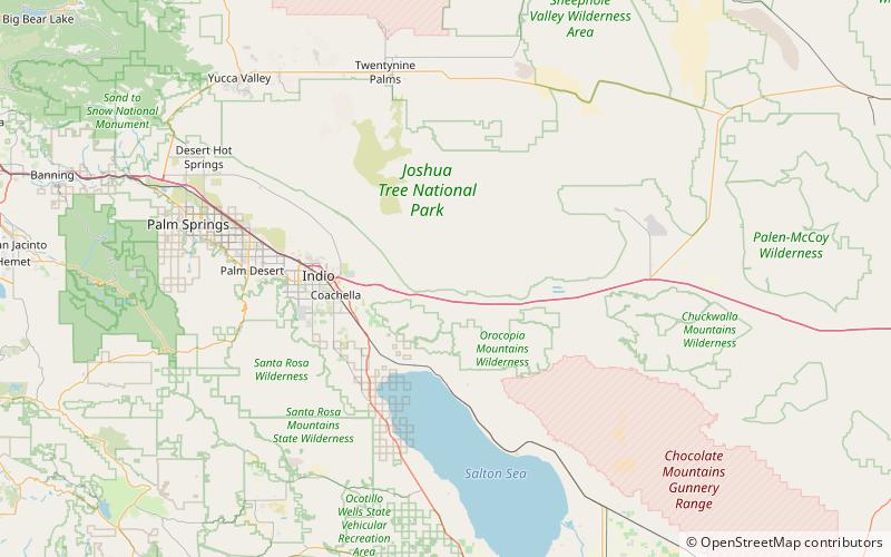
Cottonwood Mountains, Joshua Tree National Park

Map
Facts and practical information
The Cottonwood Mountains are a mountain range in Riverside County, California. They lie between the Little San Bernardino Mountains to the west, and Eagle Mountains to the east and the Hexie Mountains to the north. They are partially included in the Joshua Tree Wilderness. ()
Maximum elevation: 3428 ftCoordinates: 33°42'46"N, 115°54'25"W
Address
Joshua Tree National Park
ContactAdd
Social media
Add