Theodore Roosevelt Dam, Tonto National Forest
Map

Gallery

Facts and practical information
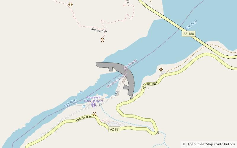
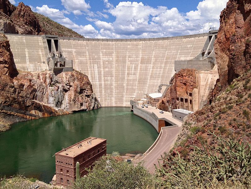
Theodore Roosevelt Dam is a dam on the Salt River located northeast of Phoenix, Arizona. The dam is 357 feet high and forms Theodore Roosevelt Lake as it impounds the Salt River. Originally built between 1905 and 1911, the dam was renovated and expanded in 1989–1996. The dam is named after President Theodore Roosevelt. Serving mainly for irrigation, water supply, and flood control, the dam also has a hydroelectric generating capacity of 36 megawatts. ()
Alternative names: Opened: 1911 (115 years ago)Length: 1210 ftHeight: 357 ftReservoir area: 33.58 mi²Coordinates: 33°40'17"N, 111°9'43"W
Address
Tonto National Forest
ContactAdd
Social media
Add
Day trips
Theodore Roosevelt Dam – popular in the area (distance from the attraction)
Nearby attractions include: Theodore Roosevelt Lake, Tonto National Monument.


