Tamiami Canal, Miami
Map

Map

Facts and practical information
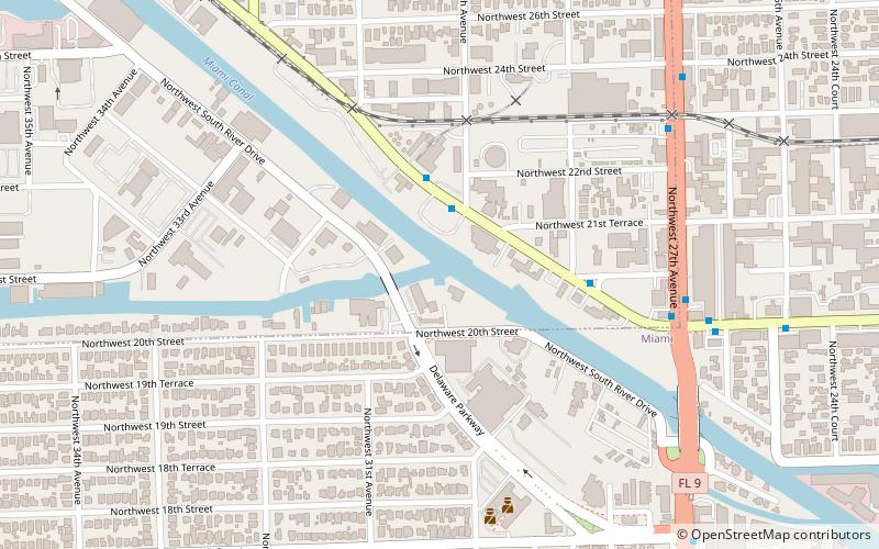
The Tamiami Canal or C-4 Canal, is a canal located in southern Florida in the United States. It flows in a west to east direction from the western part of the state in the Everglades past the Miami International Airport to a salinity control center near the Miami River. It averages 8 feet in depth and is over 100 feet wide in some areas. ()
Coordinates: 25°47'43"N, 80°14'40"W
Address
Miami International AirportMiami
ContactAdd
Social media
Add
Day trips
Tamiami Canal – popular in the area (distance from the attraction)
Nearby attractions include: LoanDepot Park, E. G. Sewell Park, Tower Theater, Bay of Pigs Museum.
Frequently Asked Questions (FAQ)
How to get to Tamiami Canal by public transport?
The nearest stations to Tamiami Canal:
Bus
Train
Metro
Bus
- Nw North River Dr@Approx # 3006 • Lines: 32 (3 min walk)
Train
- Miami Airport (22 min walk)
- Miami Intermodal Center (24 min walk)
Metro
- Miami International Airport • Lines: Orange (23 min walk)


