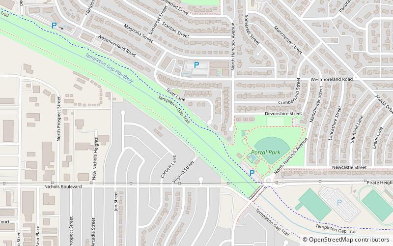
Templeton Gap, Colorado Springs
Map

Map

Facts and practical information
Templeton Gap is a gap between hills and bluffs located in northeastern Colorado Springs, El Paso County, Colorado. It was used by Native Americans to reach Ute Pass and was an area that oxen trains traveled to reach Colorado Springs. Templeton Ranch was operated by A.J. Templeton, for whom the feature is named. ()
Coordinates: 38°53'4"N, 104°48'18"W
Address
Northeast Colorado Springs (Cragmoor)Colorado Springs
ContactAdd
Social media
Add
Day trips
Templeton Gap – popular in the area (distance from the attraction)
Nearby attractions include: Pikes Peak Greenway, Colorado Springs Fine Arts Center, Shove Memorial Chapel, Palmer Park.


