Tenth Street Bridge, Great Falls
Map
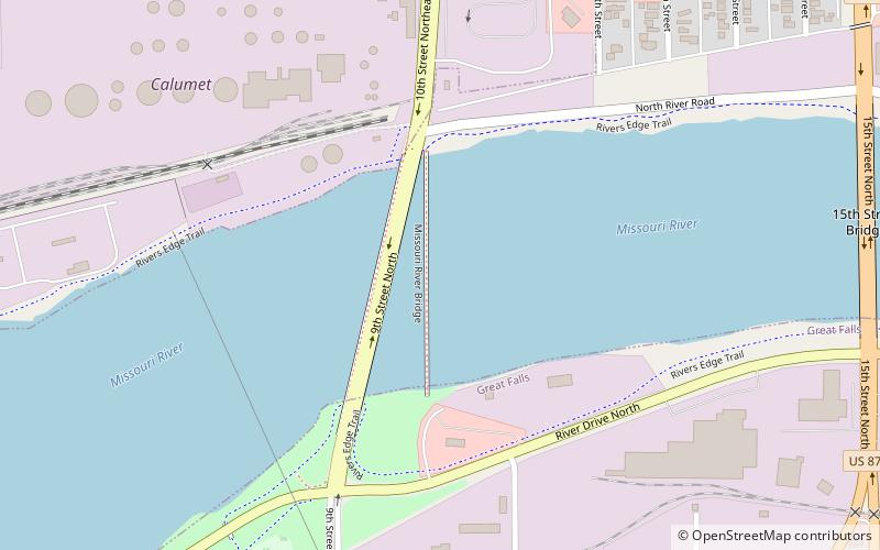
Map

Facts and practical information
The Tenth Street Bridge is a concrete arch bridge in Great Falls, Montana, spanning the Missouri River. The bridge was designed by engineer Ralph Adams of Spokane, Washington and Great Falls architect George Shanley, and was completed in 1920. It was the longest open-spandrel ribbed concrete arch bridge in Montana. ()
Built: 1920 (106 years ago)Coordinates: 47°31'14"N, 111°17'24"W
Address
Great Falls
ContactAdd
Social media
Add
Day trips
Tenth Street Bridge – popular in the area (distance from the attraction)
Nearby attractions include: C M Russell Museum, Paris Gibson Square Museum of Art, St. Ann's Cathedral, Children's Museum of Montana.
Frequently Asked Questions (FAQ)
Which popular attractions are close to Tenth Street Bridge?
Nearby attractions include C M Russell Museum, Great Falls (19 min walk), St. Ann's Cathedral, Great Falls (22 min walk).
How to get to Tenth Street Bridge by public transport?
The nearest stations to Tenth Street Bridge:
Bus
Bus
- Big Sky Bus Lines (22 min walk)
- Greyhound: Bus Station (33 min walk)

