Theodore Roosevelt Bridge, Washington D.C.
Map
Map

Facts and practical information
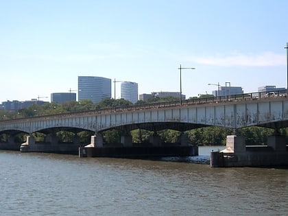
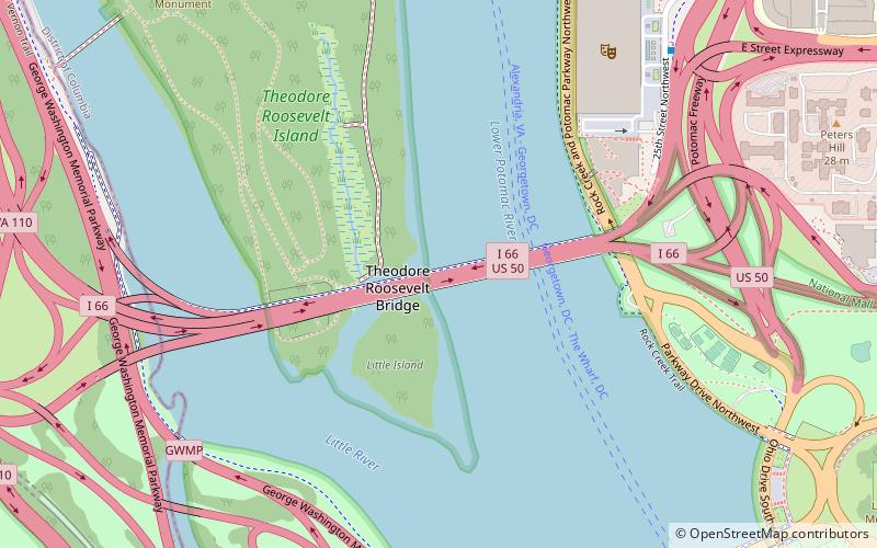
The Theodore Roosevelt Bridge is a bridge crossing the Potomac River which connects Washington, D.C., with the Commonwealth of Virginia. The bridge crosses over Theodore Roosevelt Island, and carries Interstate 66/U.S. Route 50. The center lane in the bridge is reversible; the middle barrier is moved with a barrier transfer machine. It's operated eastbound during the morning rush hour from 6-11 am. The bridge is named in honor of Theodore Roosevelt, the 26th President of the United States. ()
Coordinates: 38°53'33"N, 77°3'32"W
Day trips
Theodore Roosevelt Bridge – popular in the area (distance from the attraction)
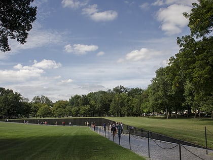
Nearby attractions include: Lincoln Memorial, Marine Corps War Memorial, Vietnam Veterans Memorial, Korean War Veterans Memorial.
Frequently Asked Questions (FAQ)
Which popular attractions are close to Theodore Roosevelt Bridge?
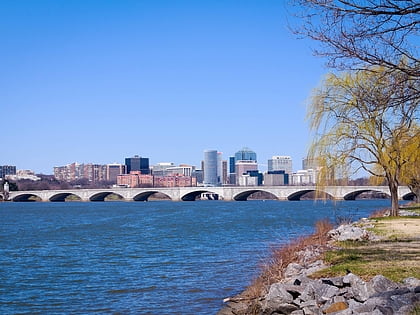
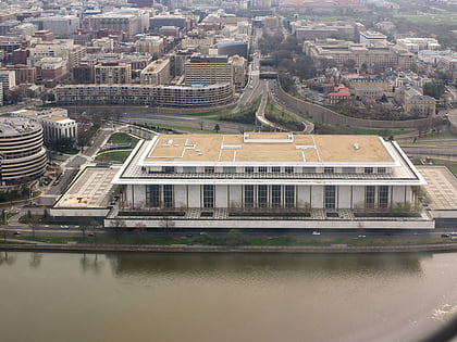
Nearby attractions include John F. Kennedy Center for the Performing Arts, Washington D.C. (8 min walk), Arlington Memorial Bridge, Washington D.C. (11 min walk), Old Naval Observatory, Washington D.C. (12 min walk), The Education Center at The Wall, Washington D.C. (13 min walk).
How to get to Theodore Roosevelt Bridge by public transport?
The nearest stations to Theodore Roosevelt Bridge:
Metro
Bus
Metro
- Arlington Cemetery • Lines: Bl (16 min walk)
- Rosslyn • Lines: Bl, Or, Sv (18 min walk)
Bus
- Lynn St & Wilson Blvd • Lines: 4A (17 min walk)
- FlixBus Rosslyn • Lines: 2601 (18 min walk)
