Montauk County Park, Montauk
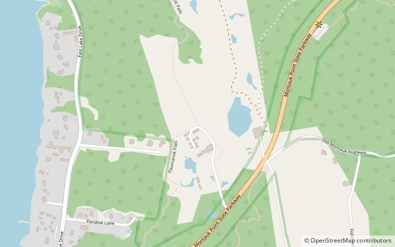
Map

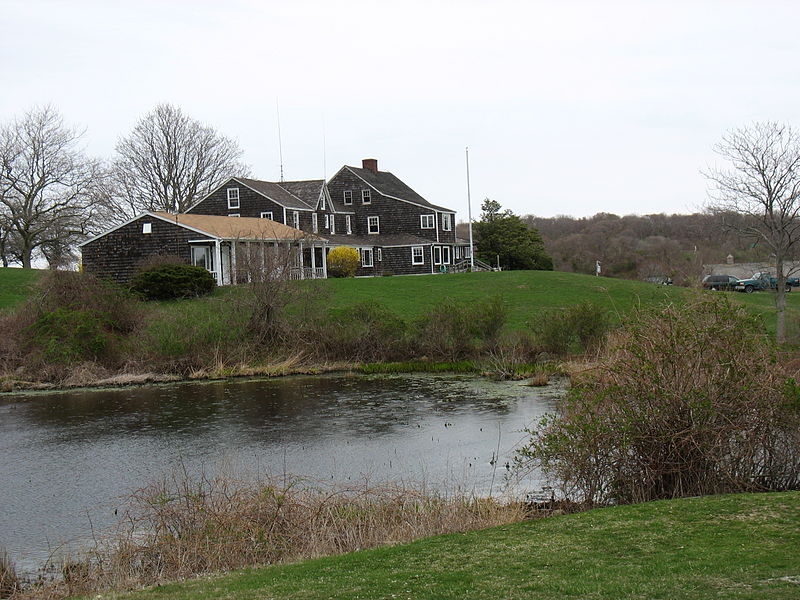
Gallery

Facts and practical information
Montauk County Park, formerly known as Theodore Roosevelt County Park, is located approximately three miles east of Montauk, New York. The park is 1,157 acres in size, running from Montauk Highway north to Block Island Sound and is bordered on the east by Montauk Point State Park. ()
Coordinates: 41°3'22"N, 71°54'2"W
Address
The Hamptons (Montauk)Montauk
ContactAdd
Social media
Add
Day trips
Montauk County Park – popular in the area (distance from the attraction)
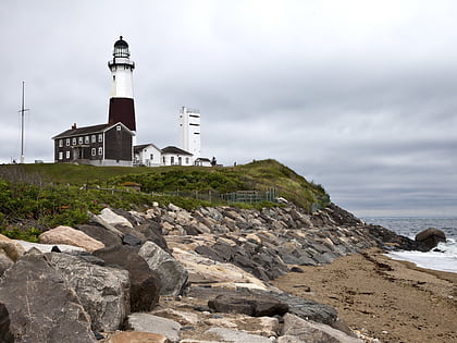
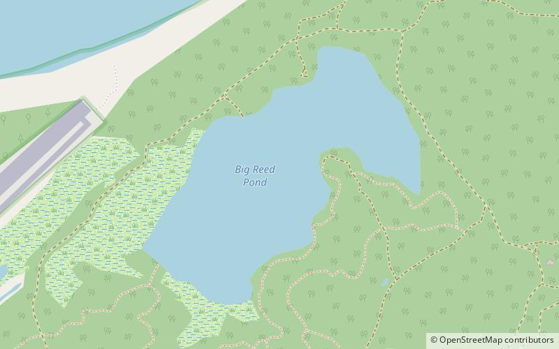
Nearby attractions include: Montauk Point Lighthouse, Big Reed Pond, Star Island Yacht Club, Shadmoor State Park.


