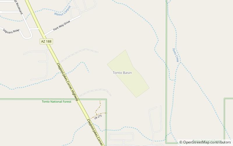
Tonto Basin, Tonto National Forest
Map

Map

Facts and practical information
The Tonto Basin, also known as Pleasant Valley, covers the main drainage basin of Tonto Creek and its tributaries in central Arizona, at the southwest of the Mogollon Rim, the higher elevation transition zone across central and eastern Arizona. Although the word tonto means silly or foolish in Spanish, this place name is derived from the Apache word, Koun’nde, which means wild, rough people and refers to the indigenous Dilzhe’e Tonto Apache. ()
Coordinates: 33°49'54"N, 111°17'42"W
Address
Tonto National Forest
ContactAdd
Social media
Add
Day trips
Tonto Basin – popular in the area (distance from the attraction)
Nearby attractions include: Sears-Kay Ruin.

