Tuolumne Meadows, Yosemite National Park
Map
Gallery

Facts and practical information
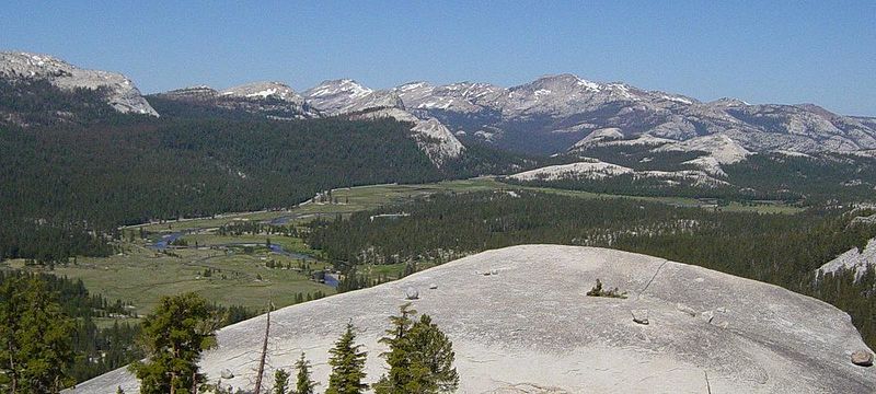
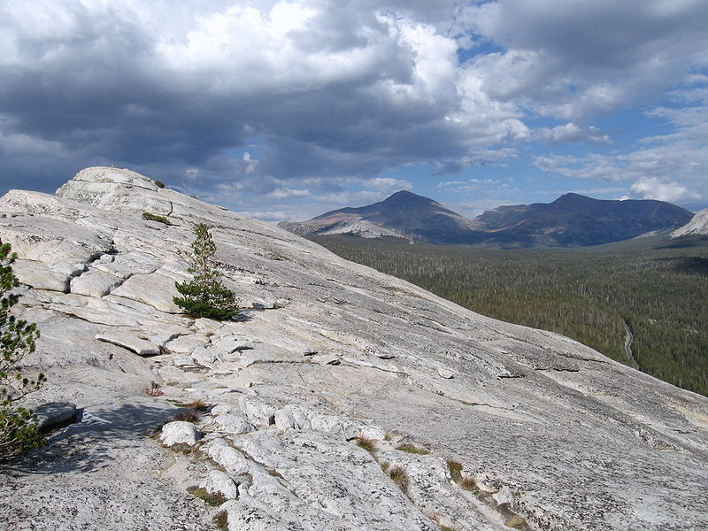
Tuolumne Meadows is a gentle, dome-studded, sub-alpine meadow area along the Tuolumne River in the eastern section of Yosemite National Park in the United States. Its approximate location is 37°52.5′N 119°21′W. Its approximate elevation is 8,619 feet. The term Tuolumne Meadows is also often used to describe a large portion of the Yosemite high country around the meadows, especially in context of rock climbing. ()
Alternative names: Built: 1934 (92 years ago)Elevation: 8589 ft a.s.l.Coordinates: 37°52'30"N, 119°20'60"W
Address
Yosemite National Park
ContactAdd
Social media
Add
Day trips
Tuolumne Meadows – popular in the area (distance from the attraction)
Nearby attractions include: Lembert Dome, Puppy Dome, Dog Lake, Soda Springs Cabin.
Frequently Asked Questions (FAQ)
Which popular attractions are close to Tuolumne Meadows?
Nearby attractions include Puppy Dome, Yosemite National Park (7 min walk), Lembert Dome, Yosemite National Park (13 min walk).
How to get to Tuolumne Meadows by public transport?
The nearest stations to Tuolumne Meadows:
Bus
Bus
- Tuolumne Meadows Store • Lines: Mammoth - Hwy 120/395 (10 min walk)


