Upper Baker Dam, Mount Baker–Snoqualmie National Forest

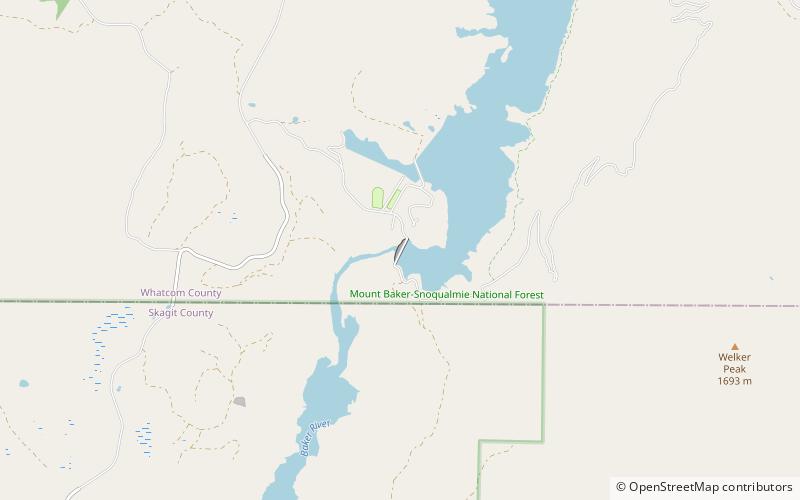
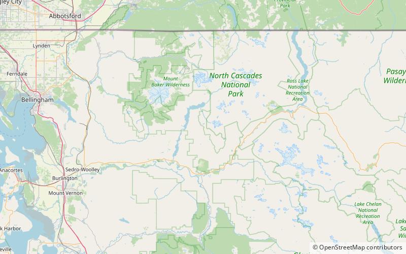
Map
Facts and practical information
Upper Baker Dam is a dam spanning the Baker River in northern Washington in the United States of America. It is one of two dams on the river, the other one being the Lower Baker Dam a few miles downstream. The dam is used to generate hydroelectricity and provide flood control. ()
Alternative names: Opened: 1959 (67 years ago)Length: 1200 ftHeight: 312 ftReservoir area: 7.5 mi²Coordinates: 48°38'57"N, 121°41'28"W
Address
Mount Baker–Snoqualmie National Forest
ContactAdd
Social media
Add
Day trips
Upper Baker Dam – popular in the area (distance from the attraction)
Nearby attractions include: Baker Lake, Watson Glacier, Noisy-Diobsud Wilderness.


