Upper Stevens Creek Falls, Mount Rainier National Park
Map
Facts and practical information
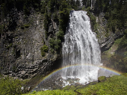
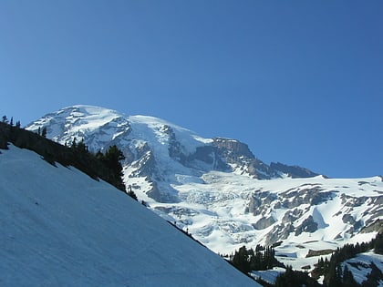
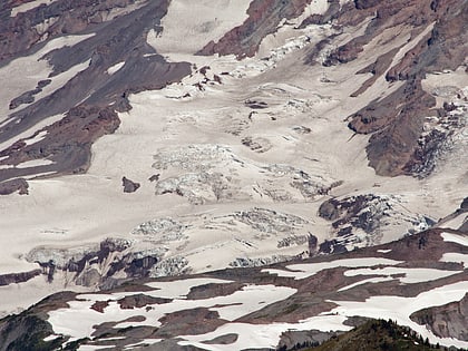
Upper Stevens Creek Falls is a waterfall in the Mount Rainier National Park in Pierce County, Washington. Although virtually ignored, it is said to be one of the greatest waterfalls in the state. ()
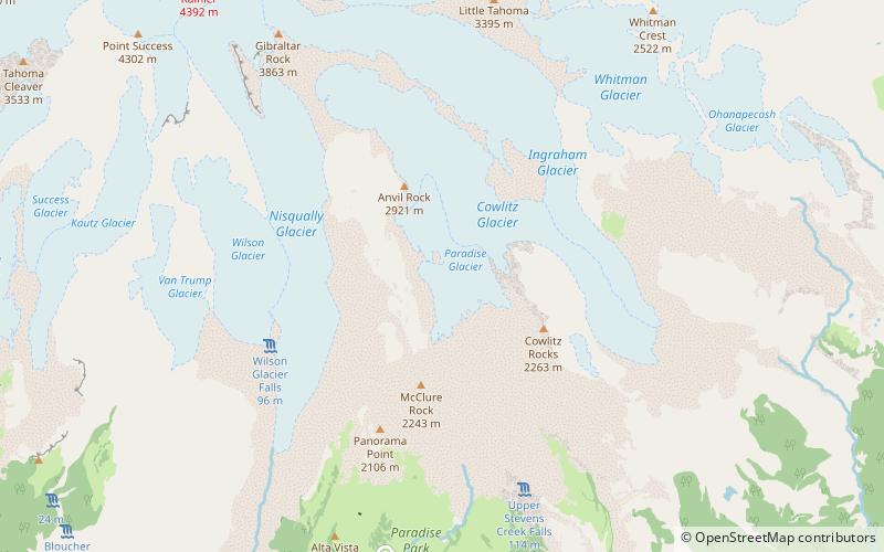
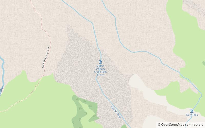
Width: 60 ftHeight: 375 ftCoordinates: 46°47'50"N, 121°42'25"W
Address
Mount Rainier National Park
ContactAdd
Social media
Add
Day trips
Upper Stevens Creek Falls – popular in the area (distance from the attraction)
Nearby attractions include: Wonderland Trail, Narada Falls, Foss Peak, Snow Lake.
Frequently Asked Questions (FAQ)
Which popular attractions are close to Upper Stevens Creek Falls?
Nearby attractions include Paradise River waterfalls, Mount Rainier National Park (14 min walk), Williwakas Glacier, Mount Rainier National Park (19 min walk).
