Vista Bridge, Portland
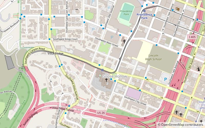
Map
Gallery
Facts and practical information
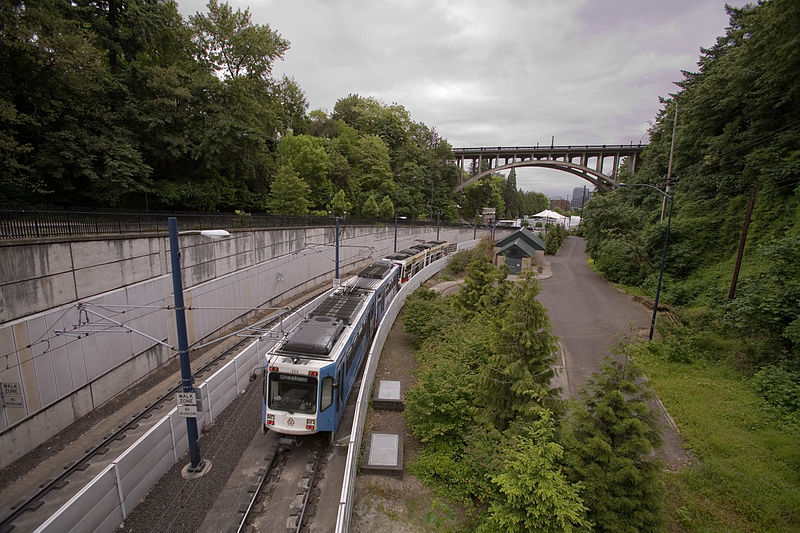
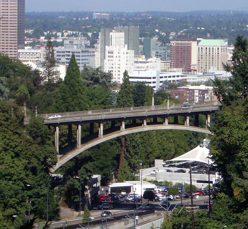
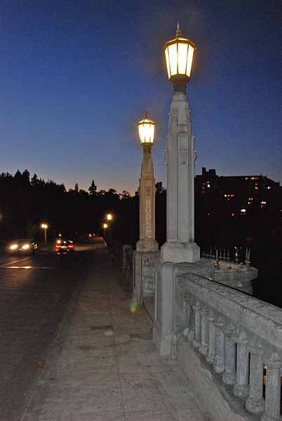
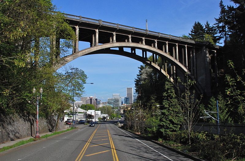
The Vista Bridge is an arch bridge for vehicles and pedestrians located in Portland, Oregon, United States. It connects the areas of King's Hill and Vista Ridge which are both in the Goose Hollow neighborhood. The MAX Light Rail line and Jefferson Street/Canyon Road travel under the bridge, and Vista Avenue crosses the bridge. ()
Opened: 1926 (100 years ago)Coordinates: 45°31'9"N, 122°41'53"W
Address
1200 SW Vista AveSouthwest HillsPortland 97205
ContactAdd
Social media
Add
Day trips
Vista Bridge – popular in the area (distance from the attraction)
Nearby attractions include: Crystal Ballroom, International Rose Test Garden, Mark Building, Chiming Fountain.
Frequently Asked Questions (FAQ)
Which popular attractions are close to Vista Bridge?
Nearby attractions include David T. and Nan Wood Honeyman House, Portland (4 min walk), King's Hill Historic District, Portland (4 min walk), Gaston–Strong House, Portland (4 min walk), Samuel W. King House, Portland (5 min walk).
How to get to Vista Bridge by public transport?
The nearest stations to Vista Bridge:
Bus
Light rail
Tram
Train
Bus
- Southwest Vista & Madison • Lines: 51 (2 min walk)
Light rail
- Goose Hollow/Southwest Jefferson Street • Lines: Blue, Red (6 min walk)
- Providence Park • Lines: Blue, Red (11 min walk)
Tram
- Southwest 11th & Jefferson • Lines: B, Ns (17 min walk)
- Southwest 10th & Clay • Lines: A, Ns (18 min walk)
Train
- Portland Union Station (32 min walk)


