Main Street Bridge, Rochester
Map

Map

Facts and practical information
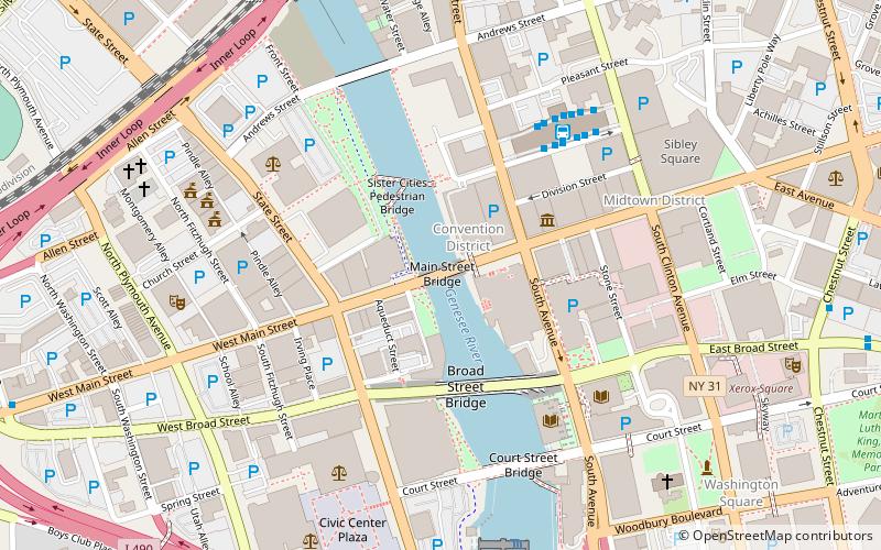
Main Street Bridge is a historic stone arch bridge located at Rochester in Monroe County, New York. It was constructed in 1857 and spans the Genesee River. It has five segmental arches with spans of 30 to 42 feet and rises of 8–11.5 feet. ()
Built: 1857 (169 years ago)Coordinates: 43°9'22"N, 77°36'38"W
Address
Southwest Rochester (Downtown Rochester)Rochester
ContactAdd
Social media
Add
Day trips
Main Street Bridge – popular in the area (distance from the attraction)
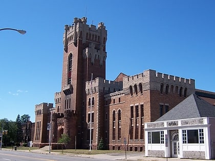
Nearby attractions include: Memorial Art Gallery, Frontier Field, Blue Cross Arena, Main Street Armory.
Frequently Asked Questions (FAQ)
Which popular attractions are close to Main Street Bridge?
Nearby attractions include Broad Street Bridge, Rochester (1 min walk), Reynolds Arcade, Rochester (3 min walk), Granite Building, Rochester (3 min walk), Times Square Building, Rochester (4 min walk).
How to get to Main Street Bridge by public transport?
The nearest stations to Main Street Bridge:
Bus
Train
Bus
- RTS Transit Center (5 min walk)
- FlixBus Rochester • Lines: 2686 (11 min walk)
Train
- Rochester (13 min walk)


