Civic Space Park, Phoenix
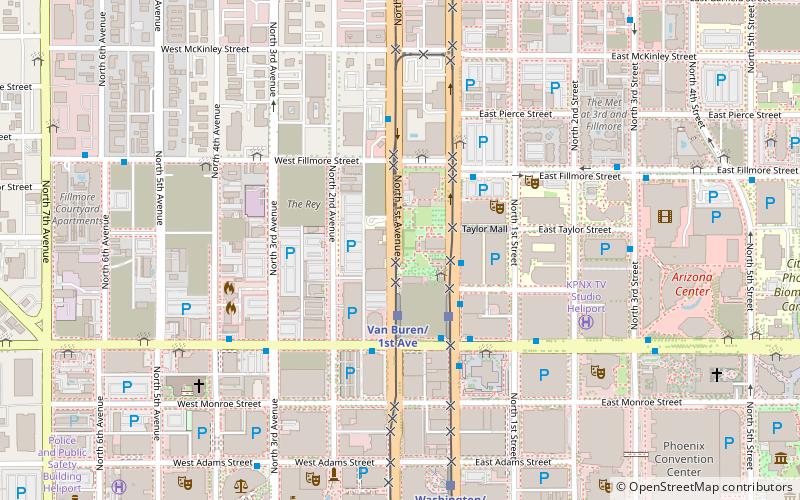
Map

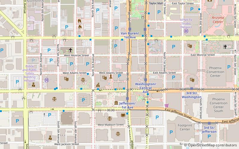
Map

Facts and practical information
Civic Space Park is an urban park in Downtown Phoenix, Arizona which first opened to the public in April 2009. It is located directly across Central Avenue from the main part of the ASU Downtown Campus. It is also located north of the Central Station METRO Light Rail and bus transfer stations. ()
Elevation: 1086 ft a.s.l.Coordinates: 33°27'11"N, 112°4'30"W
Day trips
Civic Space Park – popular in the area (distance from the attraction)
Nearby attractions include: Chase Field, Footprint Center, Arizona Federal Theatre, St. Mary's Basilica.
Frequently Asked Questions (FAQ)
Which popular attractions are close to Civic Space Park?
Nearby attractions include Freeport-McMoRan Center, Phoenix (4 min walk), Westward Ho, Phoenix (4 min walk), 44 Monroe, Phoenix (5 min walk), Orpheum Lofts, Phoenix (7 min walk).
How to get to Civic Space Park by public transport?
The nearest stations to Civic Space Park:
Bus
Bus
- 17200 • Lines: Dash Wb (2 min walk)
- Dash • Lines: Dash Wb (2 min walk)


