Council Crest Park, Portland
Map
Gallery
Facts and practical information
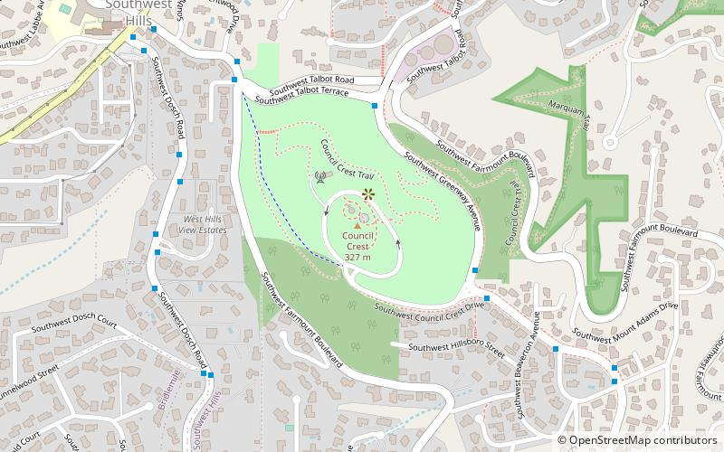
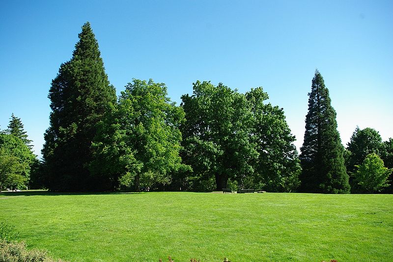
Council Crest Park is a city park in southwest Portland in the U.S. state of Oregon. Amenities include paved and unpaved paths, a dog off-leash area, picnic tables, public art, a view point, and a wedding site that can be reserved. The 43.51-acre park, operated by Portland Parks & Recreation, is open year-round from 5 a.m. to midnight. It was the site of an amusement park from 1907 until 1929. ()
Established: 1937 (89 years ago)Elevation: 1027 ft a.s.l.Coordinates: 45°29'55"N, 122°42'29"W
Address
SW Council Crest DriveSouthwest HillsPortland 97201
Contact
+1 503-823-2223
Social media
Add
Day trips
Council Crest Park – popular in the area (distance from the attraction)
Nearby attractions include: Oregon Zoo, Washington Park and Zoo Railway, Portland Farmers Market, Portland Children's Museum.
Frequently Asked Questions (FAQ)
Which popular attractions are close to Council Crest Park?
Nearby attractions include Pioneer Woman, Portland (1 min walk), Baruh–Zell House, Portland (5 min walk), Southwest Hills, Portland (9 min walk), Healy Heights, Portland (16 min walk).
How to get to Council Crest Park by public transport?
The nearest stations to Council Crest Park:
Bus
Light rail
Tram
Bus
- Southwest Talbot Terrace & Greenway • Lines: 51 (4 min walk)
- 3300 Block Southwest Dosch • Lines: 51 (6 min walk)
Light rail
- Washington Park • Lines: Blue, Red (24 min walk)
- PSU South/Southwest 6th & College • Lines: Green, Orange, Yellow (36 min walk)
Tram
- Southwest Mill & Park • Lines: A, Ns (39 min walk)
- Southwest 11th & Clay • Lines: B, Ns (40 min walk)


