Lovejoy Fountain Park, Portland
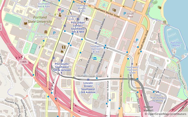
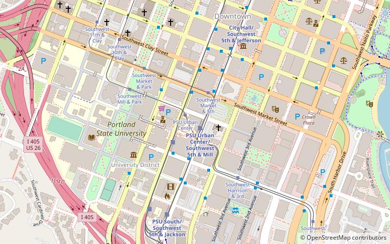
Map

Map

Facts and practical information
Lovejoy Fountain Park is a city park in downtown Portland, Oregon, U.S. ()
Created: 1966Elevation: 131 ft a.s.l.Coordinates: 45°30'33"N, 122°40'48"W
Address
1990 SW 4th AveDowntown PortlandPortland 97201
Contact
+1 503-823-2223
Social media
Add
Day trips
Lovejoy Fountain Park – popular in the area (distance from the attraction)
Nearby attractions include: Pioneer Place, Portland Farmers Market, South Park Blocks, Keller Fountain Park.
Frequently Asked Questions (FAQ)
Which popular attractions are close to Lovejoy Fountain Park?
Nearby attractions include Harrison Tower Apartments, Portland (3 min walk), The Dreamer Sculpture, Portland (3 min walk), Pettygrove Park, Portland (3 min walk), 5th Avenue Cinema, Portland (4 min walk).
How to get to Lovejoy Fountain Park by public transport?
The nearest stations to Lovejoy Fountain Park:
Bus
Tram
Light rail
Bus
- Southwest 4th & Hall • Lines: 12, 43, 44 (2 min walk)
- 200 Block Southwest Harrison • Lines: 35, 36, 54, 56, 99 (2 min walk)
Tram
- Southwest Harrison & 3rd • Lines: A, B, Ns (2 min walk)
- Southwest Harrison Street • Lines: A, Ns (5 min walk)
Light rail
- Lincoln Street/Southwest 3rd Avenue • Lines: Orange (3 min walk)
- PSU South/Southwest 5th & Jackson • Lines: Green, Orange (4 min walk)


