Oakwood Cemetery, Austin
Map
Map

Facts and practical information
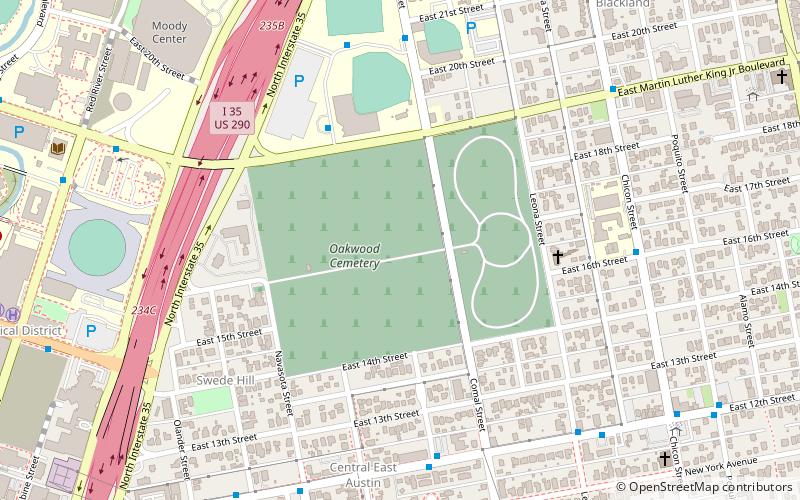
Oakwood Cemetery, originally called City Cemetery, is the oldest city-owned cemetery in Austin, Texas. Situated on a hill just east of I-35 that overlooks downtown Austin, just north of the Swedish Hill Historic District and south of Disch-Falk Field, the once-isolated site is now in the center of the city. ()
Coordinates: 30°16'37"N, 97°43'33"W
Address
1601 Navasota StEast Austin (Central East Austin)Austin 78702-1038
Contact
+1 800-926-2282
Social media
Add
Day trips
Oakwood Cemetery – popular in the area (distance from the attraction)
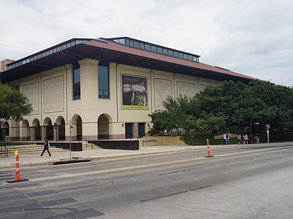
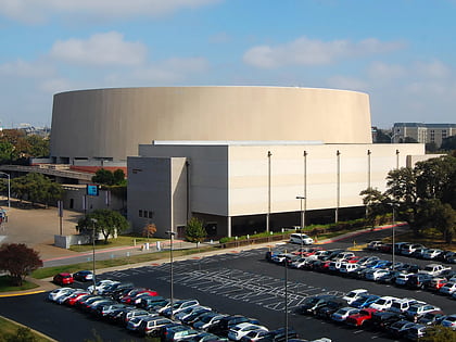
Nearby attractions include: Blanton Museum of Art, Texas State Cemetery, Darrell K Royal–Texas Memorial Stadium, Frank Erwin Center.
Frequently Asked Questions (FAQ)
Which popular attractions are close to Oakwood Cemetery?
Nearby attractions include Swedish Hill Historic District, Austin (7 min walk), Southgate–Lewis House, Austin (7 min walk), Little Campus, Austin (10 min walk), Blackland, Austin (11 min walk).
How to get to Oakwood Cemetery by public transport?
The nearest stations to Oakwood Cemetery:
Bus
Train
Bus
- Disch-Falk Field • Lines: 641 (5 min walk)
- Comal/21st • Lines: 641 (7 min walk)
Train
- MLK Jr. (26 min walk)
- Plaza Saltillo (26 min walk)

