State Arboretum of Utah, Salt Lake City

Map
Facts and practical information
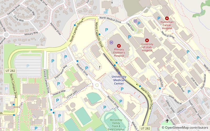
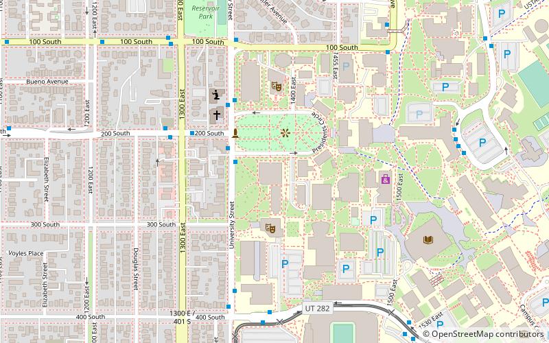
The State Arboretum of Utah is an arboretum located across the campus of the University of Utah in Salt Lake City, Utah, as well as on an additional site at Red Butte Garden and Arboretum. The campus grounds and the Red Butte Garden are open to the public every day. The conservatory is open by appointment only. ()
Coordinates: 40°46'12"N, 111°50'24"W
Address
East Bench (University of Utah)Salt Lake City
ContactAdd
Social media
Add
Day trips
State Arboretum of Utah – popular in the area (distance from the attraction)
Nearby attractions include: Rice-Eccles Stadium, Jon M. Huntsman Center, Red Butte Garden and Arboretum, George S. Eccles 2002 Legacy Bridge.
Frequently Asked Questions (FAQ)
Which popular attractions are close to State Arboretum of Utah?
Nearby attractions include Fort Douglas, Salt Lake City (9 min walk), George S. Eccles 2002 Legacy Bridge, Salt Lake City (10 min walk), Jon M. Huntsman Center, Salt Lake City (14 min walk), J. Willard Marriott Library, Salt Lake City (16 min walk).
How to get to State Arboretum of Utah by public transport?
The nearest stations to State Arboretum of Utah:
Light rail
Bus
Light rail
- University Medical Center • Lines: 703 (2 min walk)
- Fort Douglas • Lines: 703 (11 min walk)
Bus
- Central Campus Drive @ 260 S • Lines: 21 (12 min walk)
- U President's Circle • Lines: 220, 9 (20 min walk)


