Leverich Park, Vancouver

Map
Facts and practical information
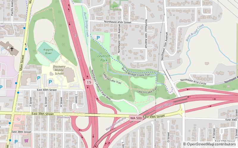
Leverich Park is a 33-acre park located in Vancouver, Washington. It is located along Burnt Bridge Creek in a natural area of Vancouver adjacent to Interstate 5. The park features a large picnic shelter, picnic tables, plenty of hiking trails and a twelve-hole Disc golf course. ()
Elevation: 79 ft a.s.l.Coordinates: 45°39'7"N, 122°39'36"W
Address
4209 NE Leverich Park WayWest MinnehahaVancouver 98663-3637
Contact
+1 360-487-8311
Social media
Day trips
Leverich Park – popular in the area (distance from the attraction)
Nearby attractions include: St. Luke's Episcopal Church, Water Works Park, Washington's 49th legislative district, Clark College.
Frequently Asked Questions (FAQ)
When is Leverich Park open?
Leverich Park is open:
- Monday 5 am - 10 pm
- Tuesday 5 am - 10 pm
- Wednesday 5 am - 10 pm
- Thursday 5 am - 10 pm
- Friday 5 am - 10 pm
- Saturday 5 am - 10 pm
- Sunday 5 am - 10 pm
Which popular attractions are close to Leverich Park?
Nearby attractions include Washington's 49th legislative district, Vancouver (13 min walk), St. Luke's Episcopal Church, Vancouver (22 min walk).
How to get to Leverich Park by public transport?
The nearest stations to Leverich Park:
Bus
Bus
- Main Street & East 44th Street • Lines: 71 (9 min walk)
 SkyTrain


