Alexandria City Hall, Alexandria
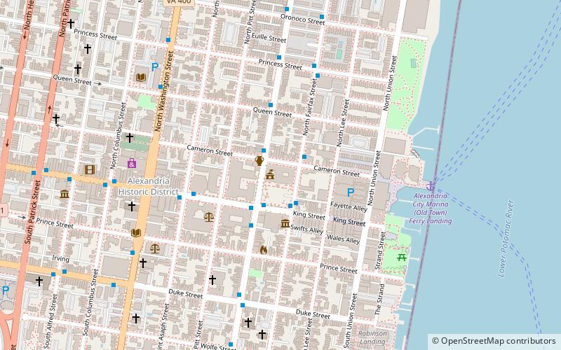
Map
Gallery
Facts and practical information
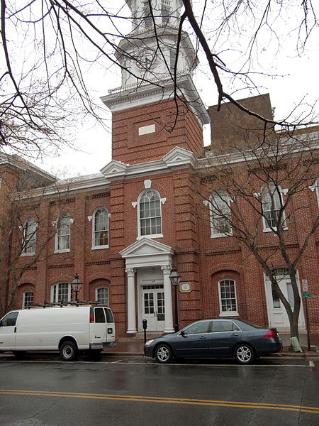
The Alexandria City Hall also known as the Alexandria Market House & City Hall, in Alexandria, Virginia, is a building built in 1871 and designed by Adolph Cluss. It was listed on the U.S. National Register of Historic Places in 1984. The site was originally a market from 1749 and courthouse from 1752. A new building was constructed in 1817 but after an extensive fire in 1871 it was rebuilt as a replica of the former building. ()
Coordinates: 38°48'19"N, 77°2'34"W
Day trips
Alexandria City Hall – popular in the area (distance from the attraction)
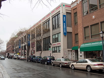
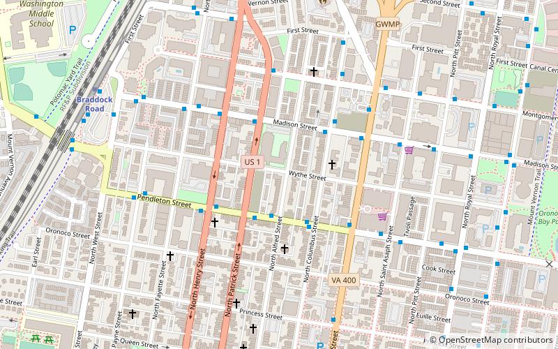
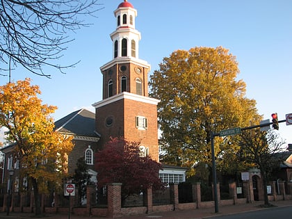
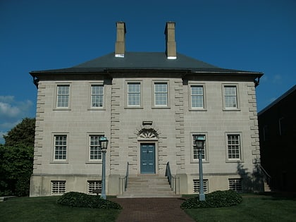
Nearby attractions include: Torpedo Factory Art Center, Black History Museum, Christ Church, Carlyle House.
Frequently Asked Questions (FAQ)
Which popular attractions are close to Alexandria City Hall?
Nearby attractions include Bank of Alexandria, Alexandria (1 min walk), Gadsby's Tavern, Alexandria (2 min walk), Farmers Market, Alexandria (2 min walk), Athenaeum, Alexandria (2 min walk).
How to get to Alexandria City Hall by public transport?
The nearest stations to Alexandria City Hall:
Bus
Metro
Train
Bus
- N Fairfax St + Cameron St • Lines: At2, At3, At3/4, At4 (2 min walk)
- N Royal St + Cameron St • Lines: At3, At3/4 (2 min walk)
Metro
- Braddock Road • Lines: Bl, Yl (22 min walk)
- King Street–Old Town • Lines: Bl, Yl (25 min walk)
Train
- Alexandria (27 min walk)
- Alexandria Union Station (27 min walk)

