Harry S. Truman Bridge, Kansas City
Map
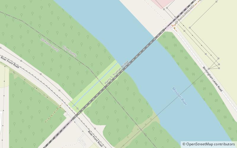
Map

Facts and practical information
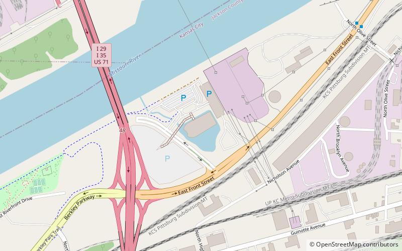
The Harry S Truman Bridge is a vertical lift rail drawbridge over the Missouri River connecting Jackson County, Missouri with Clay County, Missouri in Kansas City, Missouri. It has a 427 foot main span, and is the tenth longest span in the United States. ()
Coordinates: 39°8'37"N, 94°29'10"W
Address
Kansas City
ContactAdd
Social media
Add
Day trips
Harry S. Truman Bridge – popular in the area (distance from the attraction)
Nearby attractions include: Worlds of Fun, City Museum, Harry S. Truman Presidential Library and Museum, Patriot.
Frequently Asked Questions (FAQ)
How to get to Harry S. Truman Bridge by public transport?
The nearest stations to Harry S. Truman Bridge:
Bus
Bus
- Equitable Road at Equitable Drive • Lines: 11 (26 min walk)
- Universal at Commerce • Lines: 11 (35 min walk)


