Ohio Street, Chicago
Map
Map

Facts and practical information
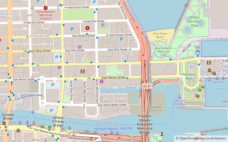
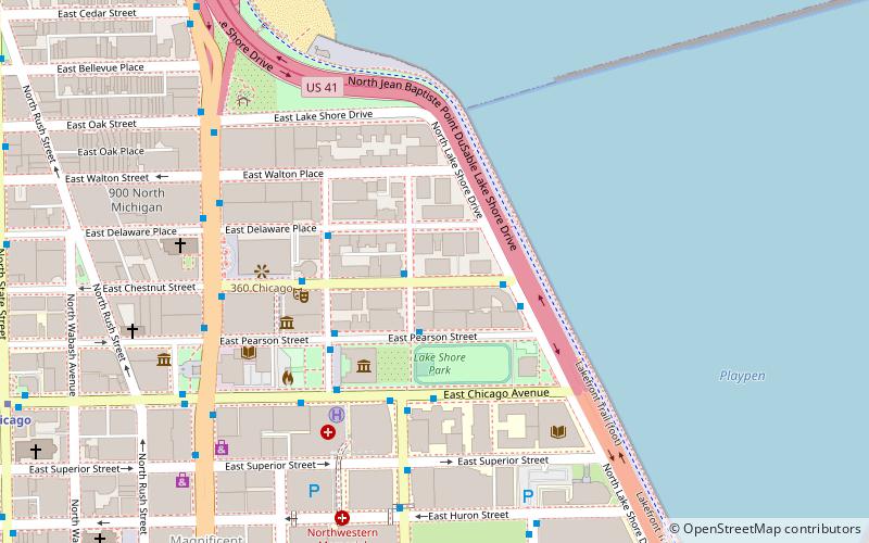
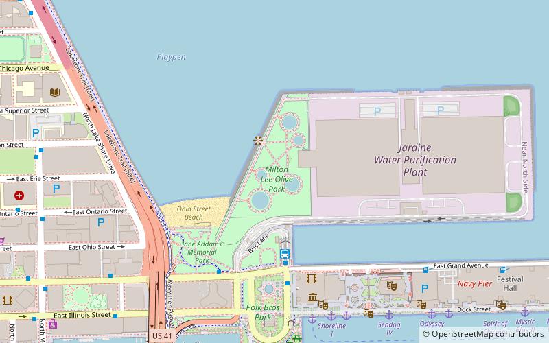
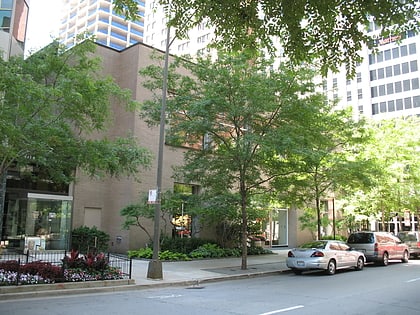
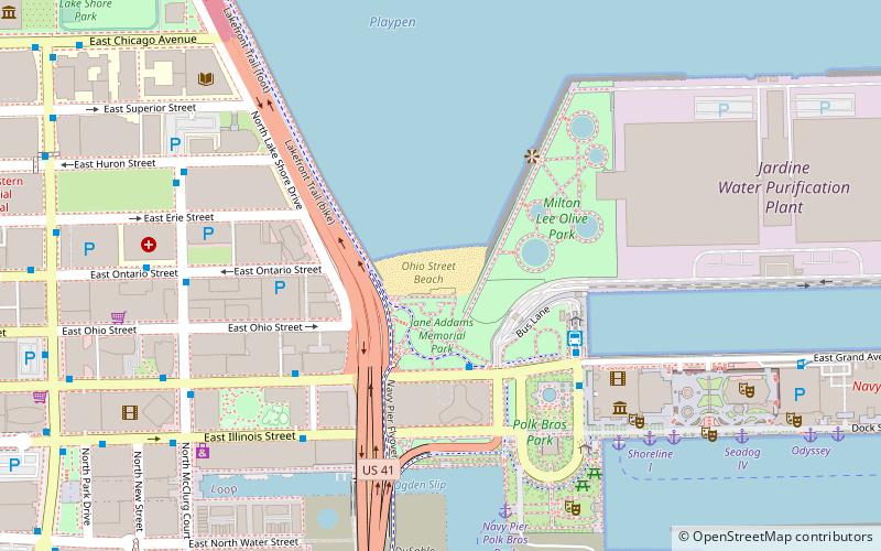
Ohio Street is a major east–west one-way street in downtown Chicago. From west to east, it runs from an interchange with Interstate 90 and I-94, also known as the Kennedy Expressway, to U.S. Route 41, also known as Lake Shore Drive, just west of Lake Michigan. ()
Length: 6178 ftElevation: 577 ft a.s.l.Coordinates: 41°53'36"N, 87°36'46"W
Day trips
Ohio Street – popular in the area (distance from the attraction)
Nearby attractions include: Chicago Children's Museum, Museum of Contemporary Art, Navy Pier, Sports Museum.
Frequently Asked Questions (FAQ)
Which popular attractions are close to Ohio Street?
Nearby attractions include Lake Point Tower, Chicago (4 min walk), Milton Lee Olive Park, Chicago (4 min walk), Onterie Center, Chicago (6 min walk), North Pier Apartments, Chicago (6 min walk).
How to get to Ohio Street by public transport?
The nearest stations to Ohio Street:
Bus
Metro
Train
Bus
- Grand & Streeter • Lines: 124, 2, 29, 65, 66 (3 min walk)
- Navy Pier Terminal • Lines: 124, 29, 65, 66 (4 min walk)
Metro
- Grand • Lines: Red (21 min walk)
- Chicago • Lines: Red (22 min walk)
Train
- Millennium Station (22 min walk)
- Van Buren Street (32 min walk)
 Rail "L"


