Splash Pad Park, Oakland
Map
Facts and practical information
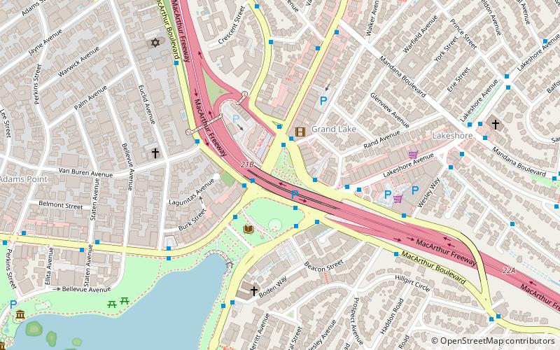
Splash Pad Park is the name of several parks containing a splash pad. The original is in Oakland, California, along Lake Park Ave, between Grand Ave and Lakeshore Ave, and north of the 580 Freeway. The Phoenix Zoo also has a Splash Pad Park at its location off Interstate 10 in Arizona between the Loop 101 and the Loop 303. ()
Elevation: 13 ft a.s.l.Coordinates: 37°48'38"N, 122°14'53"W
Getting there by public transportation
Public transportation stops near this location
- Metro
- Bus
 Metro
Metro
- Calculate routeGrand Avenue & MacArthur Boulevard 2 min walk
- Calculate routeGrand Avenue & Lake Park Avenue 2 min walk
- Calculate routeLake Park Avenue & Lakeshore Avenue 2 min walk
- Calculate routeMacArthur Boulevard & Lakeshore Avenue 2 min walk
- Calculate route19th Street Oakland 30 min walk
- Calculate routeLake Merritt 34 min walk
Day trips


Frequently Asked Questions (FAQ)
Which popular attractions are close to Splash Pad Park?
Nearby attractions include Studio Grand, Oakland (3 min walk), Cleveland Cascade, Oakland (8 min walk), Women's Athletic Club of Alameda County, Oakland (11 min walk), Adams Point, Oakland (12 min walk).
How to get to Splash Pad Park by public transport?
The nearest stations to Splash Pad Park:
Bus
Metro
Bus
- Grand Avenue & MacArthur Boulevard • Lines: 12, 805 (2 min walk)
- Grand Avenue & Lake Park Avenue • Lines: 12 (2 min walk)
Metro
- 19th Street Oakland • Lines: Orange, Red, Yellow (30 min walk)
- Lake Merritt • Lines: Blue, Green, Orange (34 min walk)