St. John's Episcopal Church, Hartford

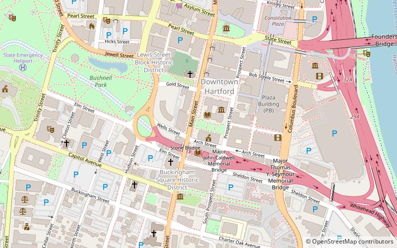
Map
Facts and practical information
The parish of St. John's Episcopal Church, Hartford, Connecticut, was formed in 1841. Its first building, designed by Henry Austin, was constructed on Main Street just south of the Wadsworth Atheneum in 1842. The parish left Hartford in 1907 and is now St. John's Episcopal Church. ()
Coordinates: 41°45'47"N, 72°40'26"W
Address
Downtown HartfordHartford
ContactAdd
Social media
Add
Day trips
St. John's Episcopal Church – popular in the area (distance from the attraction)
Nearby attractions include: XL Center, Wadsworth Atheneum, Old State House, Dunkin' Donuts Park.
Frequently Asked Questions (FAQ)
Which popular attractions are close to St. John's Episcopal Church?
Nearby attractions include Wadsworth Atheneum, Hartford (2 min walk), Hartford Public Library, Hartford (2 min walk), The Amistad Center for Art & Culture, Hartford (2 min walk), Main Street Bridge, Hartford (2 min walk).
How to get to St. John's Episcopal Church by public transport?
The nearest stations to St. John's Episcopal Church:
Bus
Train
Bus
- Hartford Megabus (12 min walk)
- Hartford Union Station (15 min walk)
Train
- Hartford (15 min walk)


