Egg Rock Light, Egg Rock

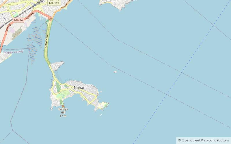
Map
Facts and practical information
Egg Rock Light was first established in 1856 after a schooner went down with the loss of five lives. The original structure was a lantern on top of a stone dwelling built from granite cut on the island. After the wreck of the schooner Shark the characteristic was changed to fixed red because the captain of the Shark was said to have confused it with Long Island Head Light in Boston Harbor. ()
Coordinates: 42°25'60"N, 70°53'53"W
Address
Egg Rock
ContactAdd
Social media
Add
Day trips
Egg Rock Light – popular in the area (distance from the attraction)
Nearby attractions include: Mary Baker Eddy House, Swampscott Town Hall, Greenlawn Cemetery, Lynn Heritage State Park.


