Fort Sewall, Marblehead
Map

Map

Facts and practical information
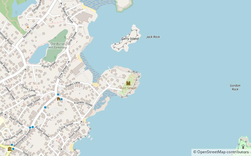
Fort Sewall is a historic coastal fortification in Marblehead, Massachusetts. It is located at Gale's Head, the northeastern point of the main Marblehead peninsula, on a promontory that overlooks the entrance to Marblehead Harbor. Until 1814 it was called Gale's Head Fort. ()
Built: 1634 (392 years ago)Elevation: 3 ft a.s.l.Coordinates: 42°30'32"N, 70°50'30"W
Day trips
Fort Sewall – popular in the area (distance from the attraction)
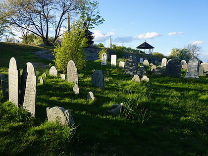
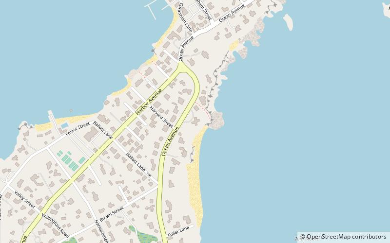
Nearby attractions include: Marblehead Light, Old Burial Hill, Old Town House, Abbot Hall.
Frequently Asked Questions (FAQ)
Which popular attractions are close to Fort Sewall?
Nearby attractions include Old Burial Hill, Marblehead (10 min walk), Marblehead Light, Marblehead (13 min walk), Old Town House, Marblehead (13 min walk), Marblehead Historic District, Salem (13 min walk).


