Bourne Bridge, Bourne
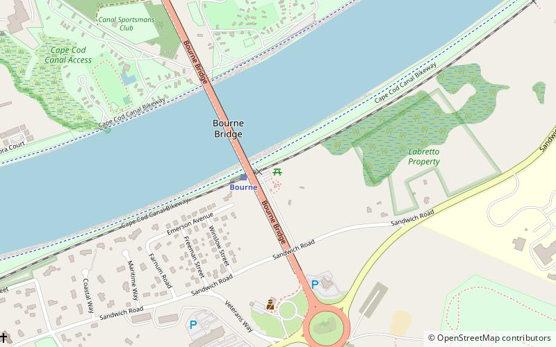
Map

Gallery

Facts and practical information
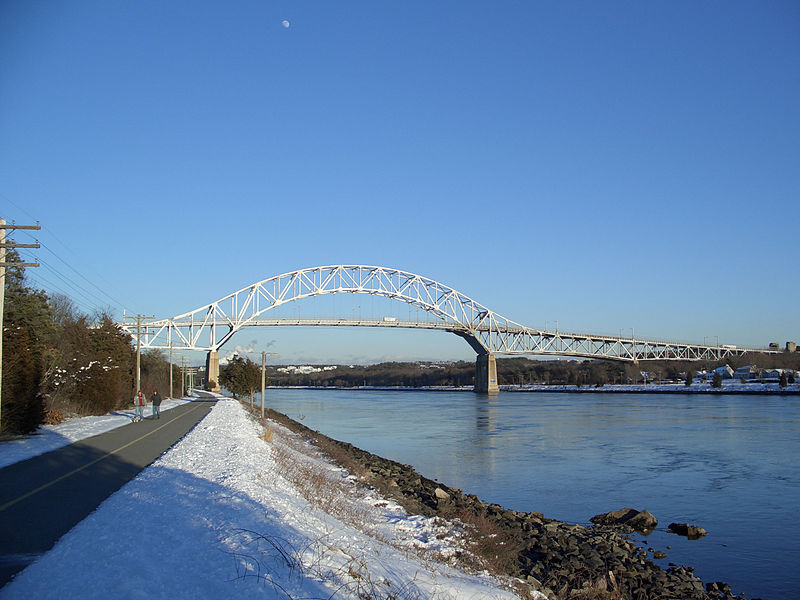
The Bourne Bridge in Bourne, Massachusetts carries Route 28 across the Cape Cod Canal, connecting Cape Cod with the rest of Massachusetts. It won the American Institute of Steel Construction's Class "A" Award of Merit as the "Most Beautiful Steel Bridge" in 1934. Most traffic approaching from the west follows Massachusetts Route 25 which ends at the interchange with US 6 and Route 28 just north of the bridge. The highway provides freeway connections from Interstate 495 and Interstate 195. ()
Coordinates: 41°44'48"N, 70°35'17"W
Address
Upper Cape (Bourne)Bourne
ContactAdd
Social media
Add
Day trips
Bourne Bridge – popular in the area (distance from the attraction)
Nearby attractions include: Doran Park, Aptucxet Trading Post Museum, Bourne Town Hall, Bourne stone.
Frequently Asked Questions (FAQ)
Which popular attractions are close to Bourne Bridge?
Nearby attractions include Bourne Scenic Park Campground, Bourne (8 min walk), Bourne stone, Bourne (14 min walk), George I. Briggs House, Bourne (16 min walk), Jonathan Bourne Public Library, Bourne (16 min walk).


