Sunderland Bridge, Sunderland
Map

Gallery

Facts and practical information
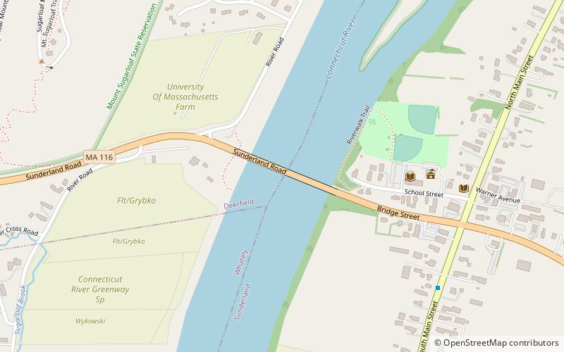
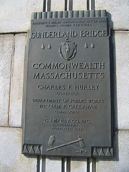
The Sunderland Bridge is a crossing over the Connecticut River in western Massachusetts, connecting the towns of South Deerfield and Sunderland, carrying Massachusetts Route 116. ()
Length: 1177 ftCoordinates: 42°28'3"N, 72°35'6"W
Address
Route 116Sunderland 01375
ContactAdd
Social media
Add
Day trips
Sunderland Bridge – popular in the area (distance from the attraction)
Nearby attractions include: Pocumtuck Range, Mullins Center, Historic Deerfield, Buttonball Tree.


