Pantoja Park, San Diego
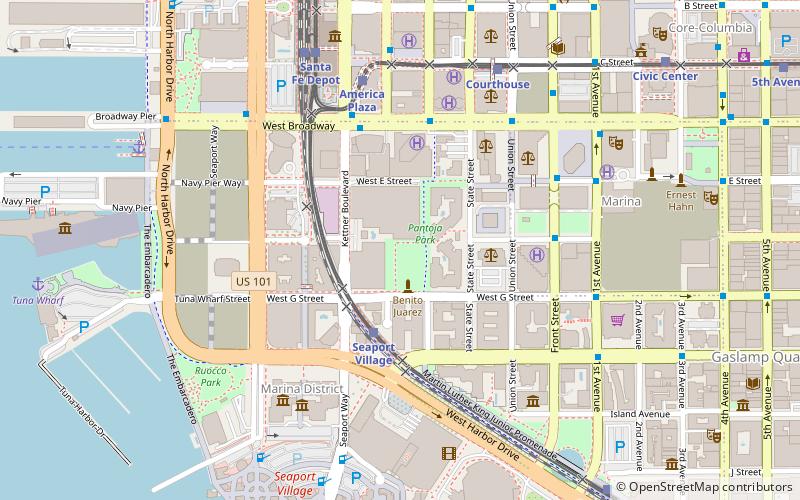
Map

Map

Facts and practical information
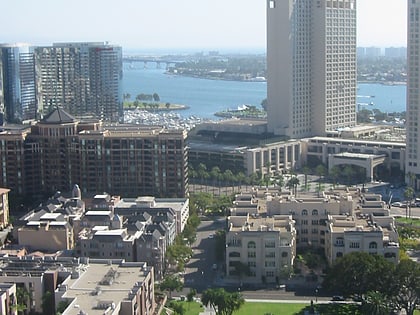
Pantoja Park is a public park located in the Marina District of Downtown San Diego, California. Originally built in 1850, it is the oldest park in the city of San Diego. The park is named for Don Juan Pantoja y Arriola, a Spanish navigator who drew the first map of San Diego Bay in 1782. In the park stands a statue of Benito Juarez, a gift from the Mexican government in 1981. Located on G Street near Columbia Street, Pantoja Park is a small oasis of open greenery in quickly redeveloping Downtown San Diego. ()
Created: 1850Elevation: 20 ft a.s.l.Coordinates: 32°42'48"N, 117°10'5"W
Day trips
Pantoja Park – popular in the area (distance from the attraction)
Nearby attractions include: USS Midway, Seaport Village, Westfield Horton Plaza, Dolphin Cove.
Frequently Asked Questions (FAQ)
Which popular attractions are close to Pantoja Park?
Nearby attractions include Metropolitan Correctional Center, San Diego (4 min walk), First Allied Plaza, San Diego (4 min walk), Electra, San Diego (5 min walk), Meridian Condominiums, San Diego (5 min walk).
How to get to Pantoja Park by public transport?
The nearest stations to Pantoja Park:
Tram
Light rail
Bus
Train
Tram
- Seaport Village • Lines: Silver (3 min walk)
- America Plaza • Lines: Silver (6 min walk)
Light rail
- Seaport Village • Lines: 530, Silver (3 min walk)
- America Plaza • Lines: 510, Silver (6 min walk)
Bus
- Broadway & Union St. • Lines: 992 (6 min walk)
- 1st Avenue and Broadway • Lines: 901 (8 min walk)
Train
- San Diego (7 min walk)


