Schmitz Park, Seattle
Map
Gallery
Facts and practical information
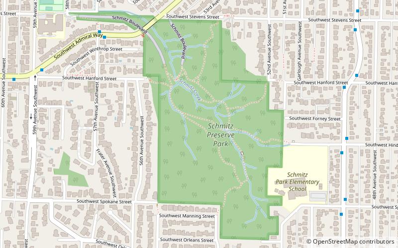
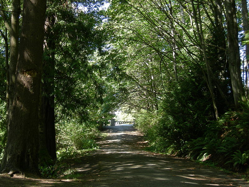
Schmitz Park, also known as Schmitz Preserve Park, is a 53.1-acre park around 15 blocks east of Alki Point in West Seattle, Washington. It features Schmitz Park Creek and one of the last stands of old-growth forest in the city. ()
Elevation: 164 ft a.s.l.Coordinates: 47°34'28"N, 122°24'4"W
Day trips
Schmitz Park – popular in the area (distance from the attraction)
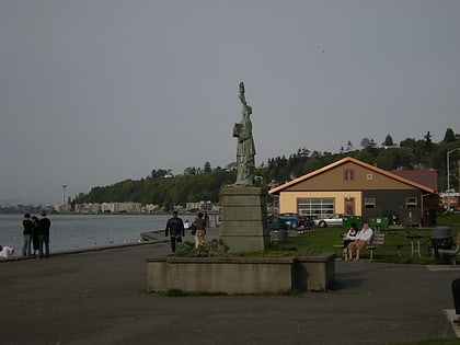
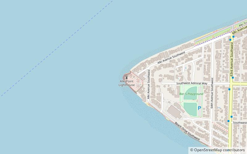
Nearby attractions include: Alki Beach Park, Alki Point Lighthouse, West Seattle, Me-Kwa-Mooks Park.
Frequently Asked Questions (FAQ)
Which popular attractions are close to Schmitz Park?
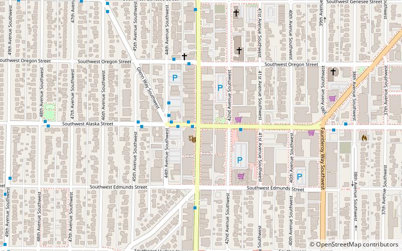
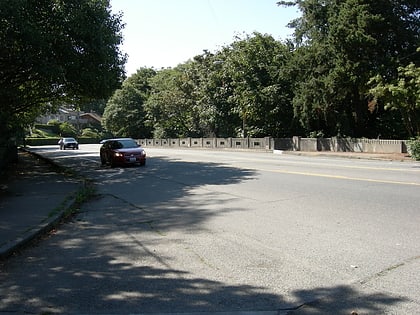
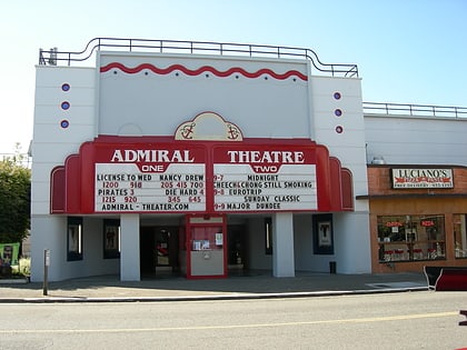
Nearby attractions include Schmitz Park Bridge, Seattle (6 min walk), Alki Beach Park, Seattle (18 min walk), Admiral Theatre, Seattle (21 min walk), Me-Kwa-Mooks Park, Seattle (22 min walk).
How to get to Schmitz Park by public transport?
The nearest stations to Schmitz Park:
Bus
Ferry
Bus
- SW Admiral Way & 57th Ave SW • Lines: 50, 56 (7 min walk)
- SW Charlestown St & 53rd Ave SW • Lines: 57 (8 min walk)
Ferry
- King County Water Taxi Seacrest Dock • Lines: West Seattle-Seattle (37 min walk)

