Tukey's Bridge, Portland
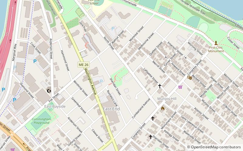
Map
Gallery
Facts and practical information
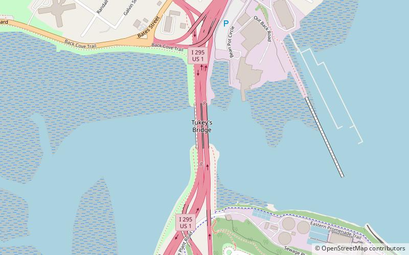
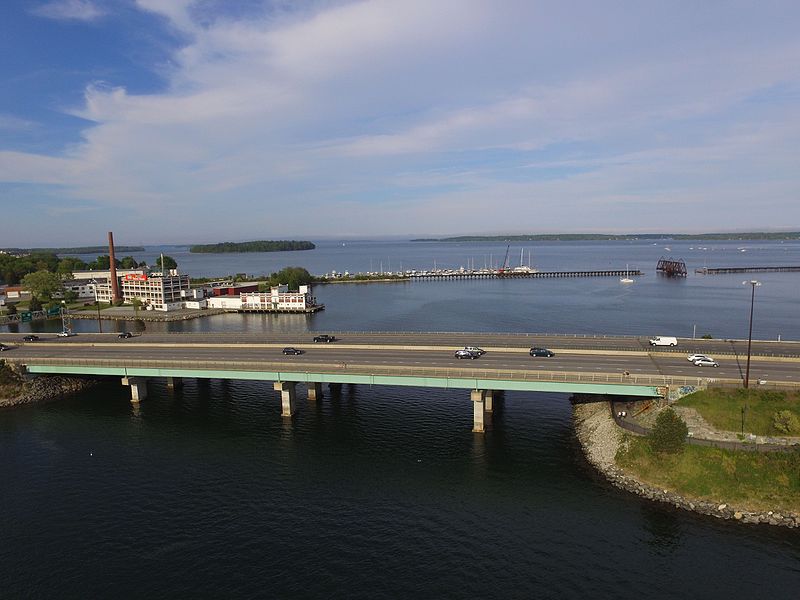
Tukey's Bridge is a bridge connecting the neighborhoods of Munjoy Hill and East Deering in Portland, Maine. It is part of Interstate 295, U.S. Route 1, and State Route 26. ()
Opened: 1960 (66 years ago)Coordinates: 43°40'35"N, 70°15'23"W
Address
East EndPortland
ContactAdd
Social media
Add
Day trips
Tukey's Bridge – popular in the area (distance from the attraction)
Nearby attractions include: Maine Narrow Gauge Railroad Museum, Eastern Promenade, Portland Observatory, Cathedral of the Immaculate Conception.
Frequently Asked Questions (FAQ)
Which popular attractions are close to Tukey's Bridge?
Nearby attractions include Grand Trunk Cemetery, Portland (15 min walk), Payson Park, Portland (17 min walk), Back Cove, Portland (18 min walk), Fort Sumner, Portland (18 min walk).
How to get to Tukey's Bridge by public transport?
The nearest stations to Tukey's Bridge:
Bus
Bus
- Congress St + India St • Lines: 9B, Brz (26 min walk)
- 693 • Lines: Hsk (28 min walk)


