Pisgah Covered Bridge, Seagrove
Map

Map

Facts and practical information
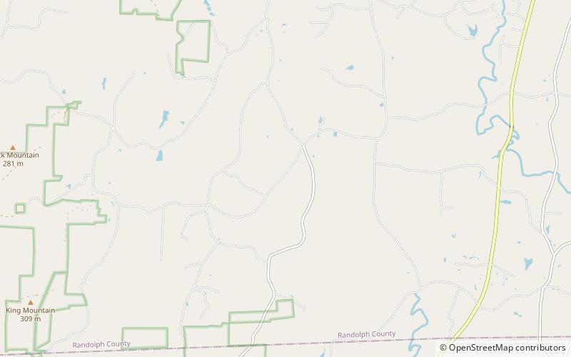
Pisgah Covered Bridge is a wooden covered bridge that spans the west fork of the Little River in Randolph County, North Carolina. It is one of two remaining original historic covered bridges in the state, and is designated as both a local and federal historic landmark. ()
Built: 1910 (116 years ago)Coordinates: 35°32'31"N, 79°53'37"W
Address
6925 Pisgah Covered Bridge RdSeagrove 27205-9393
Contact
+1 336-324-4947
Social media
Add
Day trips
Pisgah Covered Bridge – popular in the area (distance from the attraction)
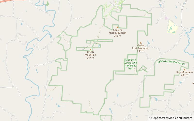
Nearby attractions include: Lewis–Thornburg Farm, Birkhead Mountains Wilderness.


