Douglass Park, Chicago
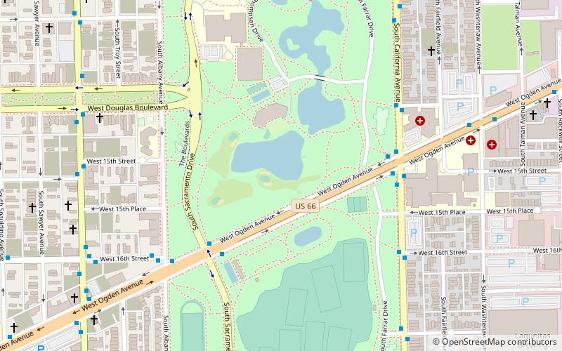
Map
Facts and practical information
Douglass Park is a part of the Chicago Park District on the West Side of Chicago, Illinois. Established in 1869 and initially named South Park, its 173 acres are in the North Lawndale community area with an official address of 1401 S. Sacramento Drive. ()
Elevation: 584 ft a.s.l.Coordinates: 41°51'40"N, 87°41'58"W
Address
1401 S Sacramento DrWest Side (North Lawndale)Chicago 60623-2219
Contact
+1 773-762-2842
Social media
Add
Day trips
Douglass Park – popular in the area (distance from the attraction)
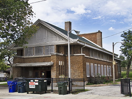
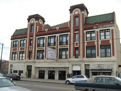
Nearby attractions include: Our Lady of Sorrows Basilica, Shedd Park Fieldhouse, North Lawndale, Central Park Theater.
Frequently Asked Questions (FAQ)
Which popular attractions are close to Douglass Park?
Nearby attractions include Central Park Theater, Chicago (14 min walk), North Lawndale, Chicago (24 min walk).
How to get to Douglass Park by public transport?
The nearest stations to Douglass Park:
Bus
Metro
Train
Bus
- Ogden & Sacramento • Lines: 157, 18 (4 min walk)
- California & Ogden • Lines: 94 (5 min walk)
Metro
- California • Lines: Pink (14 min walk)
- Kedzie • Lines: Pink (15 min walk)
Train
- Western Avenue (20 min walk)
 Rail "L"