Los Gatos Creek Park, San Jose
Map

Map

Facts and practical information
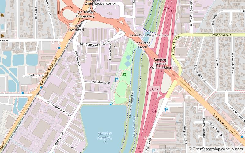
Los Gatos Creek Park is a county park in Campbell, California, a town that is bisected by the Los Gatos Creek. The park is operated by the Santa Clara County Parks and Recreation Department. ()
Elevation: 223 ft a.s.l.Coordinates: 37°16'13"N, 121°56'60"W
Address
1250 Dell AveCampbell (Dell)San Jose 95008
Contact
(408) 356-2729
Social media
Add
Day trips
Los Gatos Creek Park – popular in the area (distance from the attraction)
Nearby attractions include: Campbell, Saint Lucy Parish, Campbell Historical Museum, Saint Frances Cabrini Parish.
Frequently Asked Questions (FAQ)
How to get to Los Gatos Creek Park by public transport?
The nearest stations to Los Gatos Creek Park:
Bus
Light rail
Bus
- South Winchester Boulevard & West Sunnyoaks Avenue • Lines: 27, 37 (7 min walk)
- West Hacienda Avenue & South Winchester Boulevard • Lines: 27, 37 (10 min walk)
Light rail
- Winchester • Lines: Green (17 min walk)
- Campbell • Lines: Green (29 min walk)


