Pacifica State Beach, Pacifica
Map

Gallery

Facts and practical information
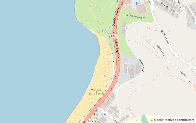
Pacifica State Beach is the southernmost of Pacifica, California's large beaches. It is a 0.75-mile-long crescent-shaped beach located at the mouth of the San Pedro Valley in downtown Pacifica off State Route 1, in San Mateo County. ()
Coordinates: 37°36'9"N, 122°30'0"W
Address
Pacifica (Linda Mar)Pacifica
ContactAdd
Social media
Add
Day trips
Pacifica State Beach – popular in the area (distance from the attraction)
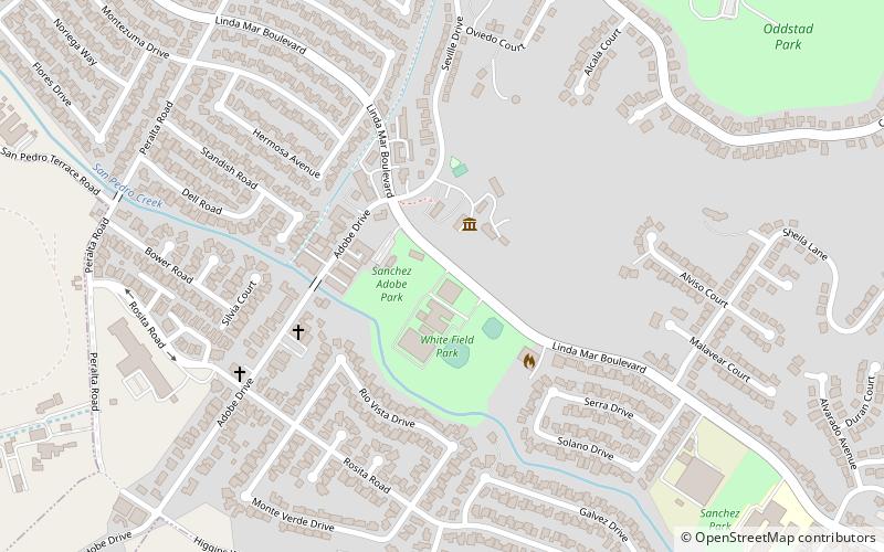
Nearby attractions include: Mori Point, Rockaway Beach, Sánchez Adobe Park, San Pedro y San Pablo Asistencia.
Frequently Asked Questions (FAQ)
Which popular attractions are close to Pacifica State Beach?
Nearby attractions include Rockaway Beach, Pacifica (16 min walk), Shelter Cove, Pacifica (22 min walk).


