Montlake Playfield, Seattle
Map

Gallery

Facts and practical information
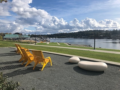
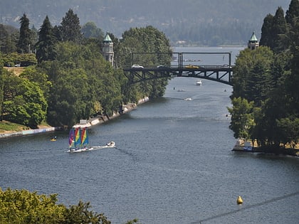
Montlake Playfield is a 27-acre park and playfield on Portage Bay in the Montlake neighborhood of Seattle, Washington, USA. ()
Elevation: 26 ft a.s.l.Coordinates: 47°38'31"N, 122°18'32"W
Day trips
Montlake Playfield – popular in the area (distance from the attraction)
Nearby attractions include: Broadmoor Golf Club, Seattle Asian Art Museum, Washington Park Arboretum, Husky Stadium.
Frequently Asked Questions (FAQ)
Which popular attractions are close to Montlake Playfield?
Nearby attractions include St. Demetrios Greek Orthodox Church, Seattle (7 min walk), Montlake Historic District, Seattle (7 min walk), Montlake, Seattle (8 min walk), West Montlake Park, Seattle (8 min walk).
How to get to Montlake Playfield by public transport?
The nearest stations to Montlake Playfield:
Bus
Light rail
Trolleybus
Tram
Bus
- East Montlake Pl E & E Roanoke St • Lines: 48 (8 min walk)
- Montlake Blvd E & Sr 520 • Lines: 48 (8 min walk)
Light rail
- University of Washington • Lines: 1 (16 min walk)
Trolleybus
- 15th Ave NE & NE 42nd St • Lines: 43, 44, 49, 70 (30 min walk)
Tram
- Fairview & Campus Drive • Lines: South Lake Union Streetcar (38 min walk)

