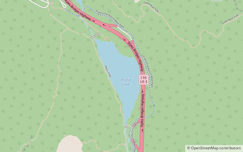
Profile Lake, Franconia Notch State Park
Map

Map

Facts and practical information
Profile Lake is a 13-acre water body located in Franconia Notch in the White Mountains of New Hampshire, at the foot of Cannon Mountain. The lake was given its name due to its location directly beneath the Old Man of the Mountain, a famous rock formation which collapsed in 2003. The lake is near the height of land in Franconia Notch; the lake's outlet is the Pemigewasset River, which flows south to the Merrimack River and ultimately the Gulf of Maine at Newburyport, Massachusetts. ()
Alternative names: Length: 1584 ftWidth: 528 ftMaximum depth: 15 ftElevation: 1949 ft a.s.l.Coordinates: 44°9'50"N, 71°40'40"W
Address
Franconia Notch State Park
ContactAdd
Social media
Add
Day trips
Profile Lake – popular in the area (distance from the attraction)
Nearby attractions include: Cannon Mountain Ski Area, Cannon Mountain, Echo Lake, New England Ski Museum.
Frequently Asked Questions (FAQ)
Which popular attractions are close to Profile Lake?
Nearby attractions include Old Man of the Mountain, Franconia (10 min walk), New England Ski Museum, Franconia (19 min walk).


