Reedy River Falls, Greenville
Map
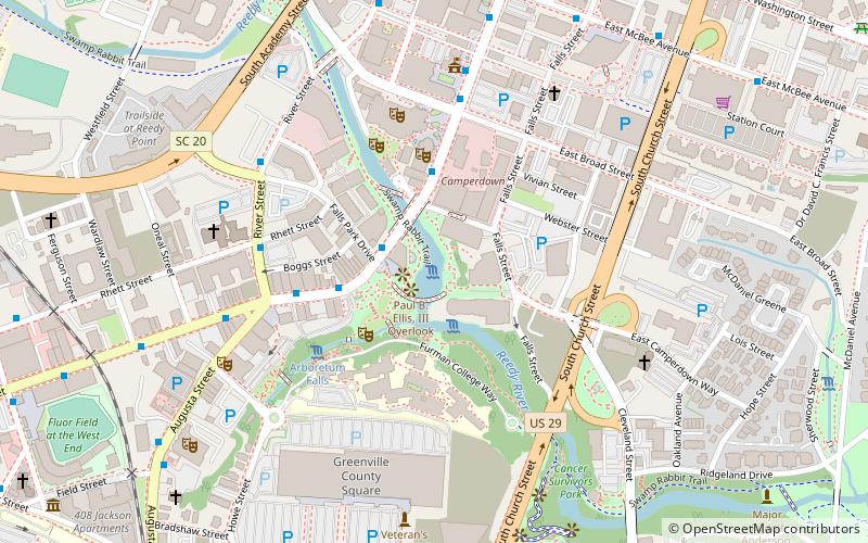
Map

Facts and practical information
Reedy River Falls Historic Park and Greenway, now known as Falls Park, runs along both banks of Reedy River from the falls to Church Street, in Greenville, South Carolina. ()
Built: 1812 (214 years ago)Elevation: 902 ft a.s.l.Coordinates: 34°50'42"N, 82°24'3"W
Day trips
Reedy River Falls – popular in the area (distance from the attraction)
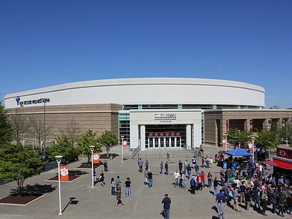
Nearby attractions include: Bon Secours Wellness Arena, Fluor Field at the West End, Falls Park on the Reedy, Liberty Bridge.
Frequently Asked Questions (FAQ)
Which popular attractions are close to Reedy River Falls?
Nearby attractions include Liberty Bridge, Greenville (1 min walk), Falls Park on the Reedy, Greenville (1 min walk), Reedy River Industrial District, Greenville (4 min walk), Peace Center, Greenville (5 min walk).
How to get to Reedy River Falls by public transport?
The nearest stations to Reedy River Falls:
Bus
Train
Bus
- River St @ Rhett St • Lines: 10J, 6F (5 min walk)
- River Street @ Camperdown • Lines: 10J, 2B, 4D, 6F (6 min walk)
Train
- Greenville (31 min walk)

