Ala Wai Canal, Honolulu
Map

Gallery

Facts and practical information
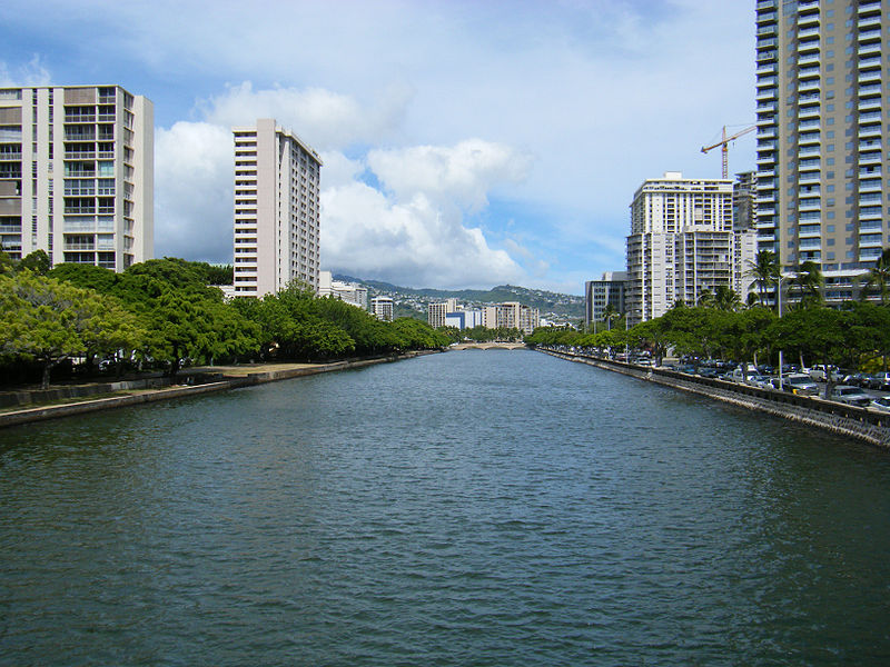
The Ala Wai Canal is an artificial waterway in Honolulu, Hawaii which serves as the northern boundary of the tourist district of Waikiki. It was created in 1928 to drain the rice paddies and swamps which would eventually become Waikiki. It also serves as a primary drainage corridor for the rivers and streams that run through central and east Honolulu. ()
Address
WaikikiHonolulu
ContactAdd
Social media
Add
Day trips
Ala Wai Canal – popular in the area (distance from the attraction)
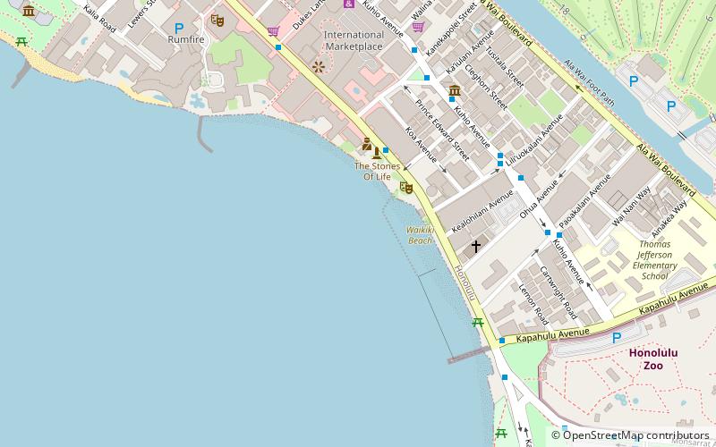
Nearby attractions include: Honolulu Zoo, International Market Place, Saint Augustine by the Sea Catholic Church, U.S. Army Museum of Hawaii.
Frequently Asked Questions (FAQ)
Which popular attractions are close to Ala Wai Canal?
Nearby attractions include Waikiki Theatre, Honolulu (7 min walk), Royal Hawaiian Center, Honolulu (9 min walk), Fort DeRussy Beach Park, Honolulu (12 min walk), U.S. Army Museum of Hawaii, Honolulu (13 min walk).
How to get to Ala Wai Canal by public transport?
The nearest stations to Ala Wai Canal:
Bus
Bus
- Kuhio Avenue + Launiu Street • Lines: 13, 19, 2, 20, 22, 23, 42, 8, 98A (3 min walk)
- Kuhio Avenue + Lewers Street • Lines: 13, 19, 2, 20, 23, 42, 8, 98A, W1, W2, W3 (4 min walk)


