Burnside Plantation, Bethlehem
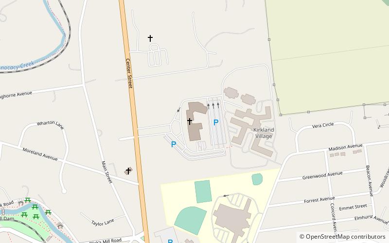
Map
Gallery
Facts and practical information
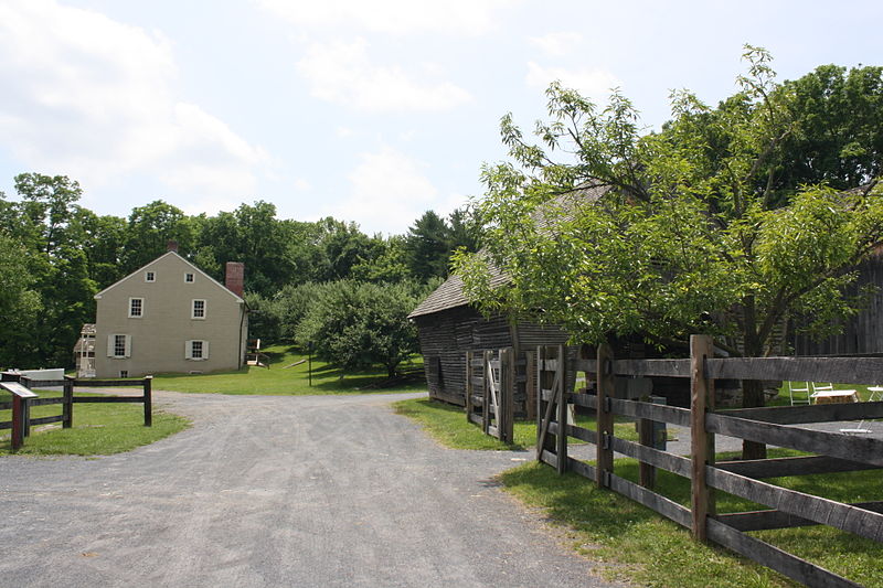
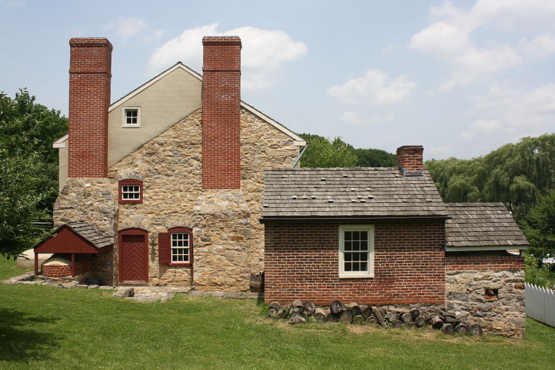
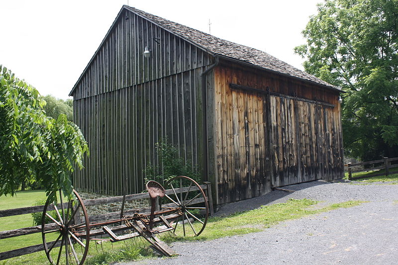
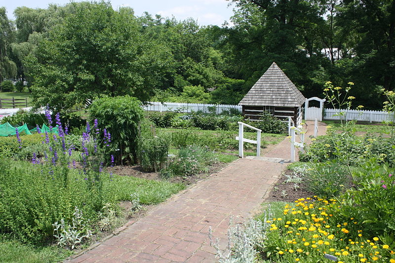
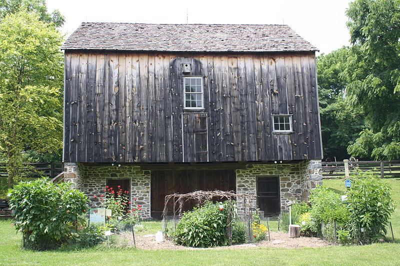
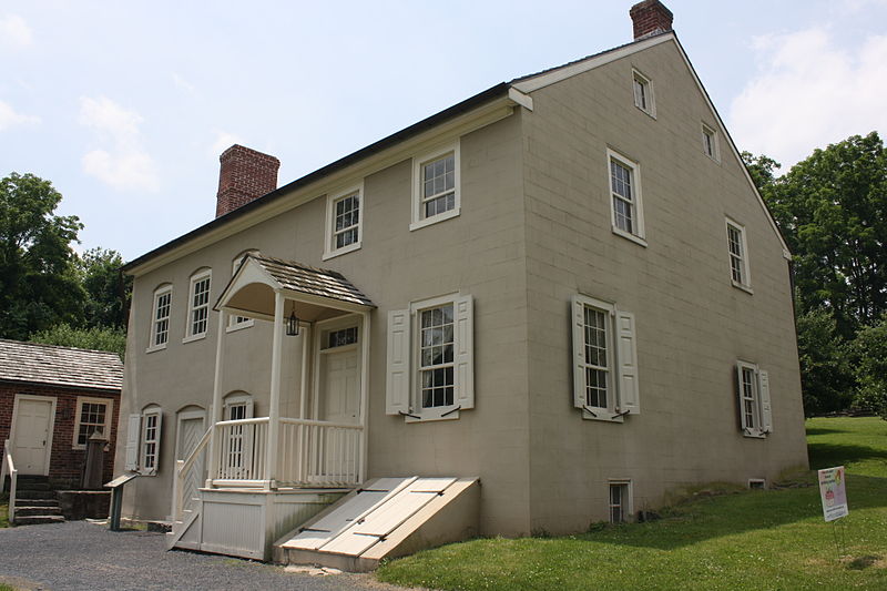
The Burnside Plantation is a 6.5-acre plantation in Bethlehem, Pennsylvania and was listed on the National Register of Historic Places in 1990. It is also known as the James Burnside Plantation and Lerch Farm. The plantation is located 0.2 miles southeast of the intersection with Eaton Road, on Schoenersville Road. ()
Coordinates: 40°37'52"N, 75°23'22"W
Day trips
Burnside Plantation – popular in the area (distance from the attraction)
Nearby attractions include: Moravian Museum, Moravian Book Shop, Colonial Industrial Quarter, Hill to Hill Bridge.
Frequently Asked Questions (FAQ)
Which popular attractions are close to Burnside Plantation?
Nearby attractions include Martin Tower, Bethlehem (7 min walk), Moravian University, Bethlehem (11 min walk), Colonial Industrial Quarter, Bethlehem (22 min walk), Illick's Mill, Bethlehem (23 min walk).


