City Island, Harrisburg
Map

Map

Facts and practical information
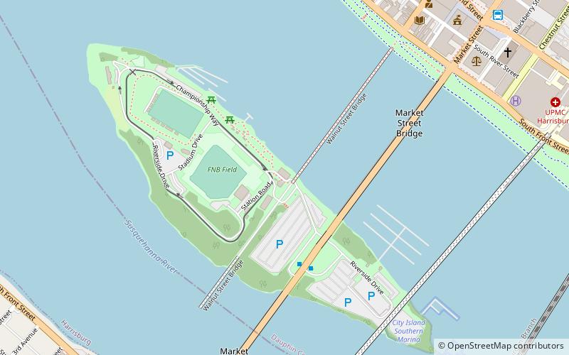
City Island is a mile-long island in the Susquehanna River between Harrisburg and Wormleysburg, Pennsylvania in the United States. It is used mainly for leisure and sports activities. Its previous names have included Turkey Island, Maclay's Island, Forster's Island and Hargast Island. The island can be reached from either side of the Susquehanna River by Market Street Bridge or, from the Harrisburg side and by pedestrians and cyclists only, by Walnut Street Bridge. ()
Area: 63.01 acres (0.0985 mi²)Elevation: 299 ft a.s.l.Coordinates: 40°15'22"N, 76°53'16"W
Day trips
City Island – popular in the area (distance from the attraction)
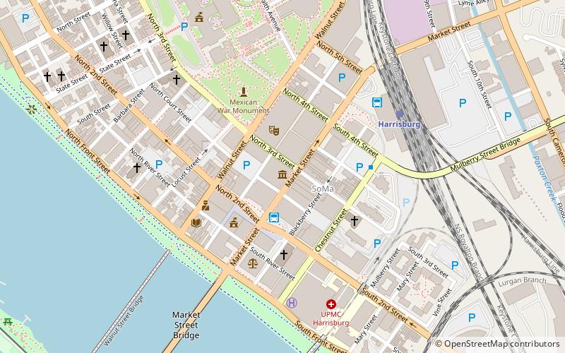
Nearby attractions include: Pennsylvania State Capitol, Strawberry Square, FNB Field, Cathedral of Saint Patrick.
Frequently Asked Questions (FAQ)
Which popular attractions are close to City Island?
Nearby attractions include Walnut Street Bridge, Harrisburg (4 min walk), Market Street Bridge, Harrisburg (5 min walk), Cumberland Valley Railroad Bridge, Harrisburg (8 min walk), William R. Griffith House, Harrisburg (9 min walk).
How to get to City Island by public transport?
The nearest stations to City Island:
Bus
Train
Bus
- Market Street Transfer Station (11 min walk)
- FlixBus Harrisburg • Lines: 2680 (16 min walk)
Train
- Harrisburg (18 min walk)


