Grand Junction Railroad Bridge, Boston
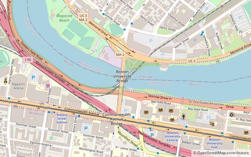
Map
Gallery
Facts and practical information
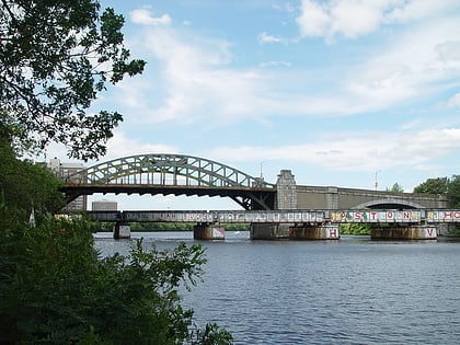
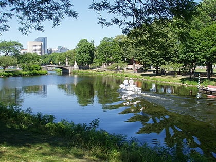
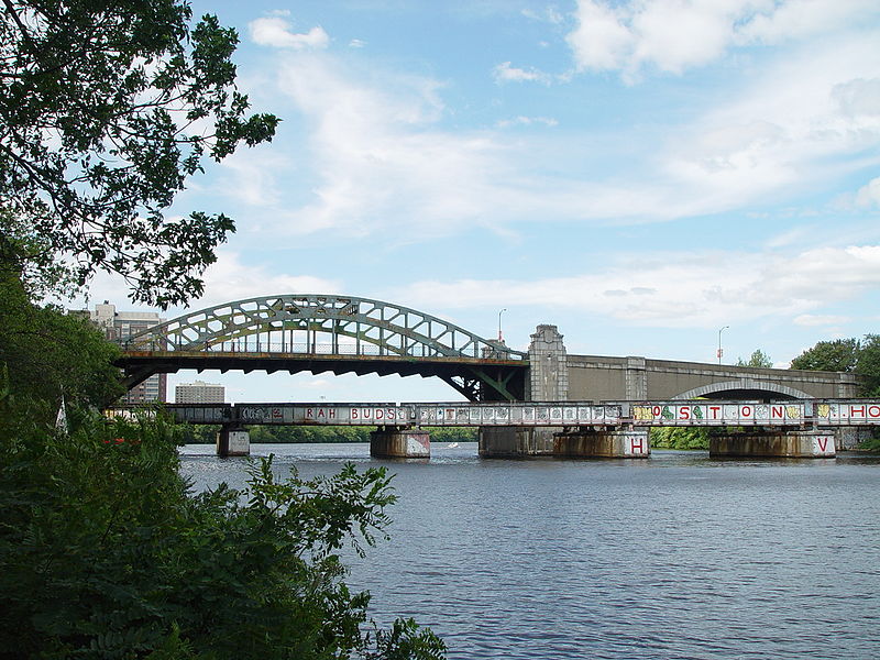
The Grand Junction Railroad Bridge is a steel plate girder bridge carrying the Grand Junction Railroad over the Charles River in Boston, connecting the Boston University campus to Cambridgeport. In September 2009, the Commonwealth of Massachusetts finalized an agreement to purchase several CSX rail lines in eastern Massachusetts, including the Grand Junction tracks from the Beacon Park Yard in Allston, through Cambridge. The deal was closed on June 17, 2010. ()
Opened: 1927 (99 years ago)Coordinates: 42°21'9"N, 71°6'37"W
Address
Cambridge (Cambridgeport)Boston
ContactAdd
Social media
Add
Day trips
Grand Junction Railroad Bridge – popular in the area (distance from the attraction)
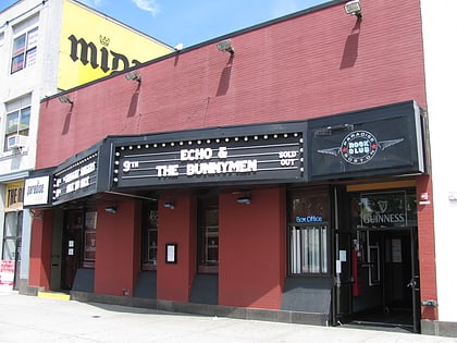
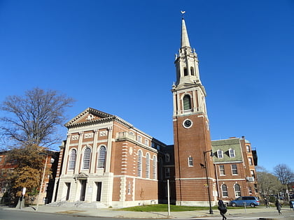
Nearby attractions include: Agganis Arena, Paradise Rock Club, Boston University Bridge, Ruggles Baptist Church.
Frequently Asked Questions (FAQ)
Which popular attractions are close to Grand Junction Railroad Bridge?
Nearby attractions include Boston University Bridge, Boston (1 min walk), George Sherman Union, Boston (4 min walk), Mugar Memorial Library, Boston (5 min walk), Marsh Chapel, Boston (7 min walk).
How to get to Grand Junction Railroad Bridge by public transport?
The nearest stations to Grand Junction Railroad Bridge:
Bus
Light rail
Train
Metro
Bus
- Commonwealth Ave @ University Rd • Lines: 47, 57 (4 min walk)
- Granite St @ Brookline St • Lines: 47 (5 min walk)
Light rail
- Boston University Central • Lines: B (7 min walk)
- Amory Street • Lines: B (7 min walk)
Train
- Lansdowne (17 min walk)
- Ruggles (40 min walk)
Metro
- Central Square • Lines: Red (25 min walk)
- Ruggles • Lines: Orange (40 min walk)
 MBTA Subway
