Haas Center for Public Service, Palo Alto
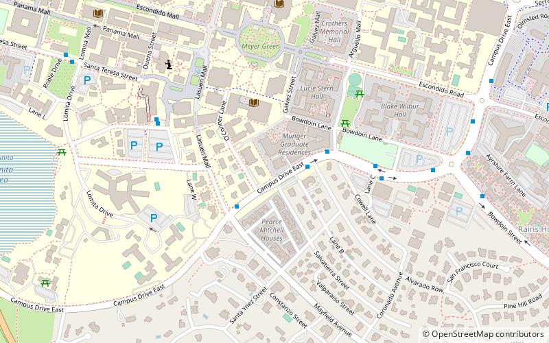
Map

Map

Facts and practical information
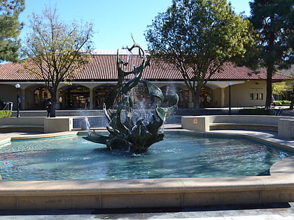
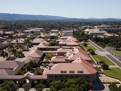
The Haas Center for Public Service, formerly the Stanford Public Service Center, is the public service center on the campus of Stanford University in Stanford, California. ()
Coordinates: 37°25'21"N, 122°10'1"W
Day trips
Haas Center for Public Service – popular in the area (distance from the attraction)
Nearby attractions include: Stanford Memorial Church, White Memorial Fountain, Hoover Tower, Papua New Guinea Sculpture Garden.
Frequently Asked Questions (FAQ)
Which popular attractions are close to Haas Center for Public Service?
Nearby attractions include White Memorial Fountain, Palo Alto (6 min walk), Lane Medical Library, Palo Alto (6 min walk), Meyer Green, Palo Alto (6 min walk), Old Union Fountain, Palo Alto (7 min walk).
How to get to Haas Center for Public Service by public transport?
The nearest stations to Haas Center for Public Service:
Bus
Train
Bus
- Campus Drive East & Alvarado Row • Lines: Se, X (2 min walk)
- Campus Drive East & Mayfield Avenue • Lines: Se, X, Y (3 min walk)
Train
- Stanford (32 min walk)


